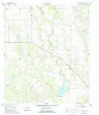
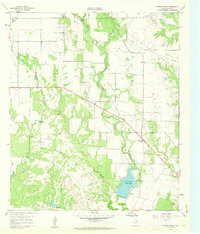
1961 Map of Herring Ranch
USGS Topo · Published 1988About this map
Motley Oil Field dominates the western landscape of this Runnels County region, where a dense network of wells and pipelines signals the intensive energy production of the mid-20th century. The terrain is defined by the drainage of Valley Creek and Quarry Creek, leading southeast toward the prominent reservoir of Lake Ballinger. Settlement patterns are sparse, characterized by scattered family holdings and small rural hubs like Valley View, which is anchored by the Valley View Ch.
Find a feature on this map
24 named features on this map. Tap any name to fly to it.
Don’t see what you’re looking for? This feature index may not catch every label — zoom into the map to look around manually.
Map Details
Editions of this 1961 Herring Ranch Map
2 editions found
Other maps of this area

1891 · Hayrick
USGS Topo · 1:125,000

1892 · Ballinger
USGS Topo · 1:125,000

1894 · Hayrick
USGS Topo · 1:125,000

1921 · Baker Flat
USGS Topo · 1:31,680

1921 · Hatchel
USGS Topo · 1:31,680

1921 · Maverick
USGS Topo · 1:31,680

1921 · Quarry Creek
USGS Topo · 1:31,680

1921 · Spur Creek
USGS Topo · 1:31,680

1921 · Rowena
USGS Topo · 1:31,680

1932 · Paint Rock
USGS Topo · 1:62,500