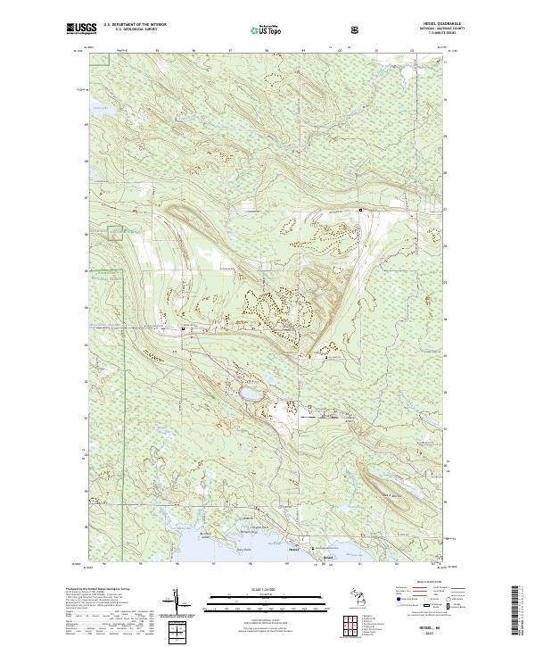
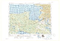
2023 Map of Hessel
USGS Topo · Published 2023About this map
Hessel serves as the focal point for this coastal survey of the Les Cheneaux area along the northern shores of Lake Huron. The landscape is defined by the transition from the dense woodlands of the Hiawatha National Forest to the complex shoreline of Hessel Bay and Mackinac Bay. Genealogy interests are well-represented by several scattered burial grounds, including Father Marquette's Cem near the coast and Italian Hill Cem further inland.
Find a feature on this map
51 named features on this map. Tap any name to fly to it.
Don’t see what you’re looking for? This feature index may not catch every label — zoom into the map to look around manually.
Map Details
Editions of this 2023 Hessel Map
This is the sole edition of this map. No revisions or reprints were ever made.
Other maps of this area
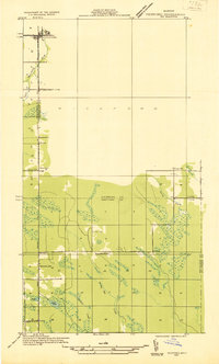
1931 · Pickford SE
USGS Topo · 1:31,680
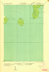
1932 · St Ignace NE
USGS Topo · 1:31,680
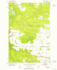
1953 · Pickford NW
USGS Topo · 1:24,000
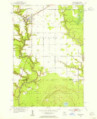
1953 · Rudyard
USGS Topo · 1:24,000
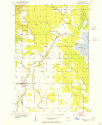
1953 · Pickford
USGS Topo · 1:24,000
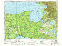
1954 · Sault Sainte Marie
USGS Topo · 1:250,000

1955 · Cheboygan
USGS Topo · 1:250,000
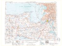
1956 · Sault Sainte Marie
USGS Topo · 1:250,000
1957 · Sault Sainte Marie
USGS Topo · 1:250,000

1958 · Cheboygan
USGS Topo · 1:250,000