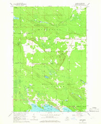
1964 Map of Hessel
USGS Topo · Published 1966About this map
The northern shoreline of Lake Huron is the focal point of this mid-1960s study, where the village of Hessel serves as a small harbor hub along Hessel Bay. The landscape is defined by the expansive Munuscong State Forest and Hiawatha National Forest, which dominate the interior terrain with numerous water bodies like Bay City Lake and Pollock Lake. This era shows a transition in land use, from the managed timberlands of the state and national forests to localized settlements marked by family-named sites such as Fenlons.
Find a feature on this map
46 named features on this map. Tap any name to fly to it.
Don’t see what you’re looking for? This feature index may not catch every label — zoom into the map to look around manually.
Map Details
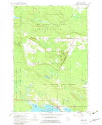
Editions of this 1964 Hessel Map
2 editions found
Other maps of this area

1931 · Pickford SE
USGS Topo · 1:31,680

1932 · St Ignace NE
USGS Topo · 1:31,680

1953 · Pickford NW
USGS Topo · 1:24,000
1953 · Rudyard
USGS Topo · 1:24,000
1953 · Pickford
USGS Topo · 1:24,000

1954 · Sault Sainte Marie
USGS Topo · 1:250,000

1955 · Cheboygan
USGS Topo · 1:250,000

1956 · Sault Sainte Marie
USGS Topo · 1:250,000

1957 · Sault Sainte Marie
USGS Topo · 1:250,000

1958 · Cheboygan
USGS Topo · 1:250,000