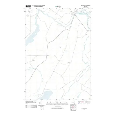
2010 Map of Heuvelton
USGS Topo · Published 2010About this map
The Oswegatchie River meanders through this Saint Lawrence County landscape, anchoring the village of Heuvelton in the northeast. The terrain is defined by a network of waterways and wetlands, including the northern reaches of Black Lake at Lower Big Bay and the drainage of Fish Creek into Mud Lake. This area is particularly rich in genealogical landmarks, with numerous family and community burial grounds such as Pine Hill Cemetery, Sand Road Cemetery, and Hill Crest Cemetery dotting the countryside.
Find a feature on this map
20 named features on this map. Tap any name to fly to it.
Don’t see what you’re looking for? This feature index may not catch every label — zoom into the map to look around manually.
Map Details
Editions of this 2010 Heuvelton Map
This is the sole edition of this map. No revisions or reprints were ever made.
Other maps of this area

1904 · Ogdensburg
USGS Topo · 1:62,500

1905 · Ogdensburg
USGS Topo · 1:62,500

1906 · Brier Hill
USGS Topo · 1:62,500

1912 · Hammond
USGS Topo · 1:62,500

1915 · Gouverneur
USGS Topo · 1:62,500

1937 · Gouverneur
USGS Topo · 1:62,500

1943 · Ogdensburg East
USGS Topo · 1:31,680

1943 · Rensselaer Falls
USGS Topo · 1:31,680

1943 · Lisbon
USGS Topo · 1:31,680

1943 · Edwardsville
USGS Topo · 1:31,680