Loading...
Loading map...2023 Map of Heuvelton
USGS Topo · Published 2023About this map
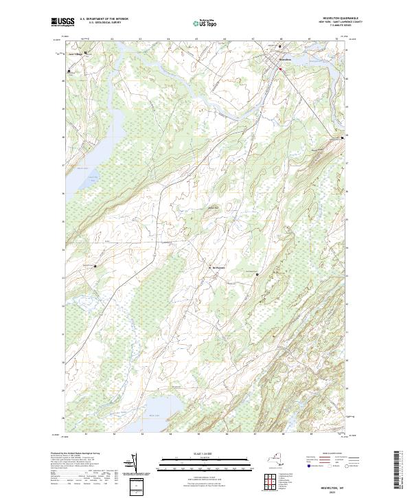
The Oswegatchie River carves a winding path through this North Country landscape, anchoring the village of Heuvelton. This 2023 survey illustrates a region defined by its complex hydrology and agricultural heritage, where the river meets the vast wetland systems and fingers of Black Lake to the west. The settlement of De Peyster sits centrally, connected by a network of rural roads that link family-named landforms like Mount Lona and Barter Hill.
Find a feature on this map
58 named features on this map. Tap any name to fly to it.
Don’t see what you’re looking for? This feature index may not catch every label — zoom into the map to look around manually.
Map Details
Date Portrayed2023
Date Published2023
PublisherU.S. Geological Survey
Map TypeTopographic
Scale1:24000
Physical Dimensions24 x 29 inches
Editions of this 2023 Heuvelton Map
This is the sole edition of this map. No revisions or reprints were ever made.
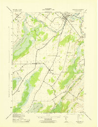
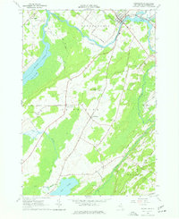
Historical Maps of De Peyster Through Time
3 maps found
Featured Locations
Source Details
SourceU.S. Geological Survey
CopyrightPublic Domain