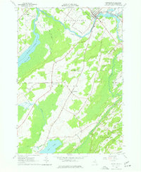
1963 Map of Heuvelton
USGS Topo · Published 1977About this map
Heuvelton serves as the primary hub of this northern St. Lawrence County landscape, where the New York Central railroad crosses the Oswegatchie River. The terrain is defined by the convergence of several major water systems, including the expansive Black Lake and its Lower Big Bay to the west, and the southern reaches of Mud Lake feeding into the Fish Creek drainage. The map reveals a rural network of farm-to-market roads like Horse Shoe Road and Bloodough Road, connecting small clusters of settlement such as Kokomo Corners and the curiously named Lost Village. Genealogists will find several small burial grounds documented across the townships of Depeyster and De Kalb, including Brier Hill Cem and Hill Crest Cem, often located near prominent local elevations like Barter Hill.
Find a feature on this map
47 named features on this map. Tap any name to fly to it.
Don’t see what you’re looking for? This feature index may not catch every label — zoom into the map to look around manually.
Map Details
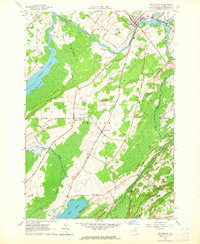
Editions of this 1963 Heuvelton Map
2 editions found
Other maps of this area

1904 · Ogdensburg
USGS Topo · 1:62,500

1905 · Ogdensburg
USGS Topo · 1:62,500

1906 · Brier Hill
USGS Topo · 1:62,500

1912 · Hammond
USGS Topo · 1:62,500

1915 · Gouverneur
USGS Topo · 1:62,500

1937 · Gouverneur
USGS Topo · 1:62,500

1943 · Ogdensburg East
USGS Topo · 1:31,680

1943 · Rensselaer Falls
USGS Topo · 1:31,680

1943 · Lisbon
USGS Topo · 1:31,680

1943 · Edwardsville
USGS Topo · 1:31,680