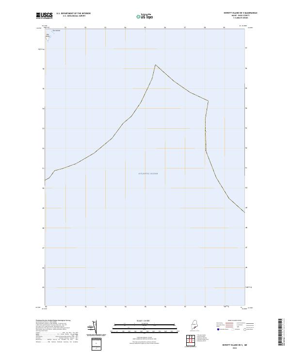
2024 Map of Hewett Island OE S
USGS Topo · Published 2024About this map
The Atlantic Ocean dominates this coastal Maine quadrangle, where the sea meets a rugged, rocky shoreline in Knox County. The map is primarily composed of open water, highlighting the treacherous approaches to the mainland. At the northwestern edge, small landforms emerge from the tide, including the distinct terrain of The Nubble and the nearby Hog Island. These features serve as critical navigational markers for the seafaring history of the region. This 2024 survey documents the enduring character of the Maine coast, where tiny offshore islands remain vital landmarks in an otherwise vast expanse of the North Atlantic.
Find a feature on this map
3 named features on this map. Tap any name to fly to it.
Don’t see what you’re looking for? This feature index may not catch every label — zoom into the map to look around manually.
Map Details
Editions of this 2024 Hewett Island OE S Map
This is the sole edition of this map. No revisions or reprints were ever made.
Other maps of this area

1904 · Tenants Harbor
USGS Topo · 1:62,500

1906 · Matinicus
USGS Topo · 1:62,500

1906 · Tennant Harbor
USGS Topo · 1:62,500

1948 · Bath
USGS Topo · 1:250,000
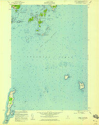
1955 · Hewett Island
USGS Topo · 1:24,000
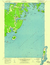
1955 · Tenants Harbor
USGS Topo · 1:24,000

1956 · Bath
USGS Topo · 1:250,000

1957 · Bath
USGS Topo · 1:250,000

1958 · Bath
USGS Topo · 1:250,000

1963 · Bath
USGS Topo · 1:250,000