
1906 Map of Tennant Harbor
USGS Topo · Published 1906About this map
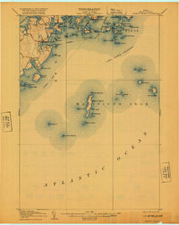
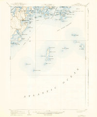
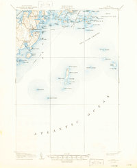
Tennant Harbor serves as the primary coastal hub on this mid-coast Maine survey, showing a network of maritime infrastructure at the turn of the century. The map details the intricate shoreline of Harts Neck and the small settlements of Martinsville and Elmore, where life was defined by the sea. Navigation is a central theme, with clear markings for Light Houses and Life Saving Stations protecting the dangerous waters of the Muscle Ridge Channel.
Find a feature on this map
81 named features on this map. Tap any name to fly to it.
Don’t see what you’re looking for? This feature index may not catch every label — zoom into the map to look around manually.
Map Details
Editions of this 1906 Tennant Harbor Map
4 editions found
Other maps of this area

1904 · Vinalhaven
USGS Topo · 1:62,500

1904 · Monhegan
USGS Topo · 1:62,500

1904 · Tenants Harbor
USGS Topo · 1:62,500

1904 · Rockland
USGS Topo · 1:62,500

1905 · Penobscot Bay
USGS Topo · 1:125,000

1906 · Matinicus
USGS Topo · 1:62,500

1906 · Monhegan
USGS Topo · 1:62,500

1906 · Rockland
USGS Topo · 1:62,500

1913 · Waldoboro
USGS Topo · 1:48,000

1915 · Waldoboro
USGS Topo · 1:62,500
Featured Places
- Saint George, ME
- South Thomaston, ME
- Cushing, ME
- Matinicus Isle Plantation, ME
- Monhegan Island Plantation, ME