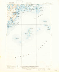
1906 Map of Tenants Harbor
USGS Topo · Published 1947About this map
Tenants Harbor serves as the focal point for this early twentieth-century survey of the Knox County coastline, where the land fragmentizes into a dense archipelago of granite islands and ledges. Small maritime settlements like Martinsville and Elmore are connected by coastal roads, while the offshore waters are defined by the critical navigation of the Muscle Ridge Channel and Two Bush Channel. The maritime economy of the era is evident in the designated Steamboat Route that cuts through the outer islands, linking remote outposts like Metinic Island to the mainland.
Find a feature on this map
79 named features on this map. Tap any name to fly to it.
Don’t see what you’re looking for? This feature index may not catch every label — zoom into the map to look around manually.
Map Details
Editions of this 1906 Tenants Harbor Map
4 editions found
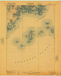
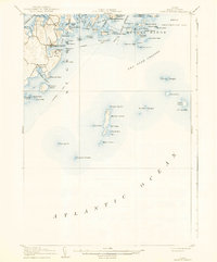
Other maps of this area

1904 · Vinalhaven
USGS Topo · 1:62,500

1904 · Monhegan
USGS Topo · 1:62,500

1904 · Tenants Harbor
USGS Topo · 1:62,500

1904 · Rockland
USGS Topo · 1:62,500

1905 · Penobscot Bay
USGS Topo · 1:125,000

1906 · Matinicus
USGS Topo · 1:62,500

1906 · Tennant Harbor
USGS Topo · 1:62,500

1906 · Monhegan
USGS Topo · 1:62,500

1906 · Rockland
USGS Topo · 1:62,500

1913 · Waldoboro
USGS Topo · 1:48,000
Featured Places
- Saint George, ME
- South Thomaston, ME
- Cushing, ME
- Matinicus Isle Plantation, ME
- Monhegan Island Plantation, ME