Loading...
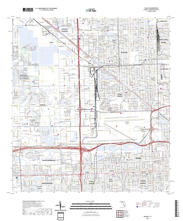
Loading map...2024 Map of Hialeah
USGS Topo · Published 2024About this map
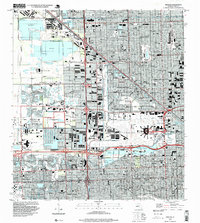
Miami Springs and the sprawling city of Hialeah anchor this urban landscape in the modern era, defined by a complex network of waterways and major transit hubs. The northern reaches of Miami International Airport dominate the central-east, while the Miami Canal Number C-6 and Tamiami Canal Number C-4 provide the hydraulic framework for the region's development.
Find a feature on this map
63 named features on this map. Tap any name to fly to it.
Don’t see what you’re looking for? This feature index may not catch every label — zoom into the map to look around manually.
Map Details
Date Portrayed2024
Date Published2024
PublisherU.S. Geological Survey
Map TypeTopographic
Scale1:24000
Physical Dimensions24 x 29 inches
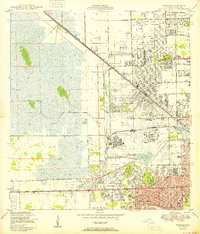
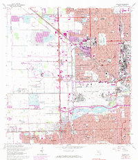
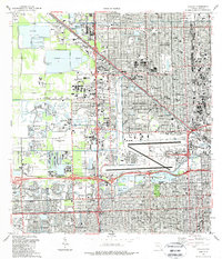
Editions of this 2024 Hialeah Map
This is the sole edition of this map. No revisions or reprints were ever made.
Historical Maps of Acres O Sun Trailer Park Through Time
5 maps found
Featured Locations
Source Details
SourceU.S. Geological Survey
CopyrightPublic Domain