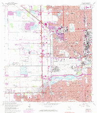
1962 Map of Hialeah
USGS Topo · Published 1984About this map
Miami International Airport dominates the central landscape of this Dade County survey, illustrating the rapid urban development of the Miami area during the mid-20th century. Suburban growth is visible in the dense grids of Hialeah, Virginia Gardens, and Miami Springs, which are woven together by the Florida East Coast railway and the expansive Palmetto Expressway. This era of development is marked by the conversion of land into residential neighborhoods like Sun Tan Village and Town Park Estates, while older land uses persist in the form of numerous borrow pits and the Hialeah Yards.
Find a feature on this map
97 named features on this map. Tap any name to fly to it.
Don’t see what you’re looking for? This feature index may not catch every label — zoom into the map to look around manually.
Map Details
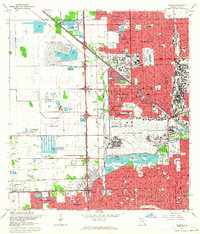
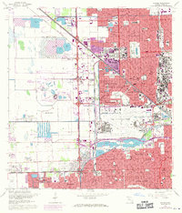
Editions of this 1962 Hialeah Map
3 editions found
Other maps of this area

1947 · North Miami
USGS Topo · 1:24,000

1947 · Key Biscayne
USGS Topo · 1:24,000

1949 · Opalocka
USGS Topo · 1:24,000

1949 · South Miami NW
USGS Topo · 1:24,000

1949 · Key Biscayne
USGS Topo · 1:24,000

1950 · Hialeah
USGS Topo · 1:24,000

1950 · Miami
USGS Topo · 1:24,000

1950 · North Miami
USGS Topo · 1:24,000

1950 · South Miami
USGS Topo · 1:24,000

1955 · South Miami NW
USGS Topo · 1:24,000