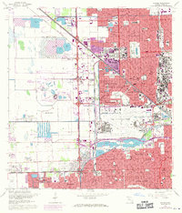
1962 Map of Hialeah
USGS Topo · Published 1970About this map
The expanding suburbs of Hialeah and Miami Springs dominate this mid-century portrait of Dade County, showing a landscape of rapid residential growth and heavy infrastructure. The iconic Hialeah Park and its Lake Flamingo sit at the heart of the developed grid, while the massive Miami International Airport and Amelia Earhart Field define the aviation footprint of the era. To the west, the Medley corporate boundary meets a series of borrow pits and the Everglades fringe, illustrating the literal carving of development out of the Florida wetlands.
Find a feature on this map
72 named features on this map. Tap any name to fly to it.
Don’t see what you’re looking for? This feature index may not catch every label — zoom into the map to look around manually.
Map Details
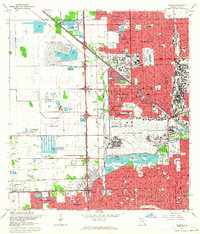
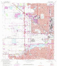
Editions of this 1962 Hialeah Map
3 editions found
Other maps of this area

1947 · North Miami
USGS Topo · 1:24,000

1947 · Key Biscayne
USGS Topo · 1:24,000

1949 · Opalocka
USGS Topo · 1:24,000

1949 · South Miami NW
USGS Topo · 1:24,000

1949 · Key Biscayne
USGS Topo · 1:24,000

1950 · Hialeah
USGS Topo · 1:24,000

1950 · Miami
USGS Topo · 1:24,000

1950 · North Miami
USGS Topo · 1:24,000

1950 · South Miami
USGS Topo · 1:24,000

1955 · South Miami NW
USGS Topo · 1:24,000