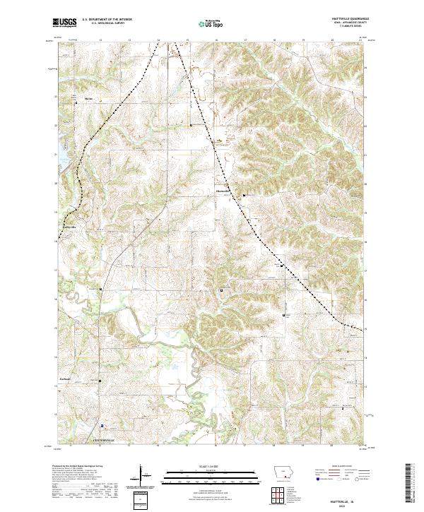
2022 Map of Hiattsville
USGS Topo · Published 2022About this map
Hiattsville and the surrounding Appanoose County landscape are defined by the winding course of the Chariton River and its numerous tributaries. This rural area, surveyed in the modern era, preserves a network of legacy family and community burial grounds, including Denny Cem, Bryant Cem, and New Hope Cem, which serve as vital markers for genealogical research in this part of Iowa. The terrain shifts from the managed waters of Rathbun Lake in the northwest to the agricultural uplands of Eagle Ridge. Small settlements like Darbyville, Maine, and Forbush are connected by a grid of county roads and sections, while the southern edge of the sheet transitions toward the city limits of Centerville. Waterways such as Snyder Br, Short Cr, and Cooper Cr carve through the landscape, illustrating the drainage patterns that have historically shaped local land use and farm placement.
Find a feature on this map
78 named features on this map. Tap any name to fly to it.
Don’t see what you’re looking for? This feature index may not catch every label — zoom into the map to look around manually.
Map Details
Editions of this 2022 Hiattsville Map
This is the sole edition of this map. No revisions or reprints were ever made.
Historical Maps of Darbyville Through Time
8 maps found
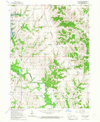
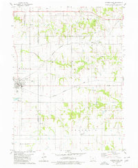
1966 Hiattsville
Appanoose County, IA
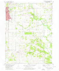
1979 Centerville East
Appanoose County, IA
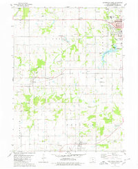
1979 Centerville West
Appanoose County, IA
1979 Seymour East
Appanoose County, IA
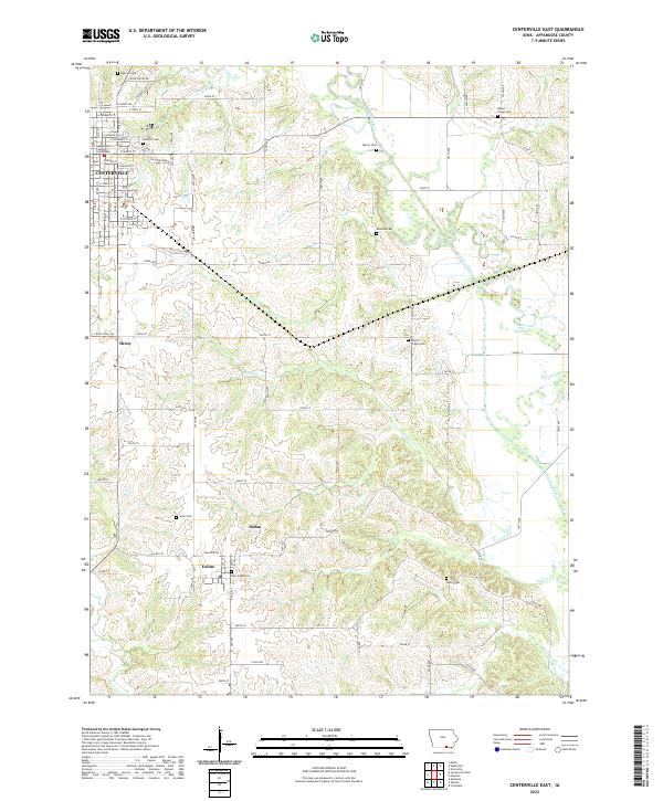
2022 Centerville East
Appanoose County, IA
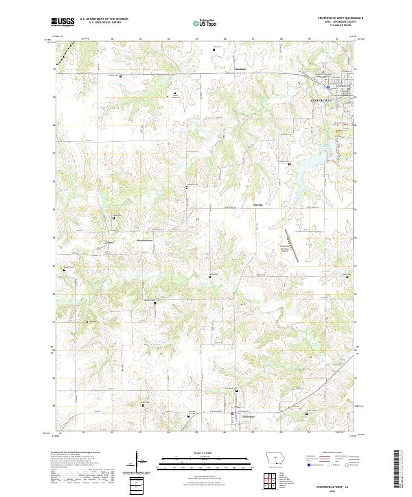
2022 Centerville West
Appanoose County, IA
2022 Hiattsville
Appanoose County, IA
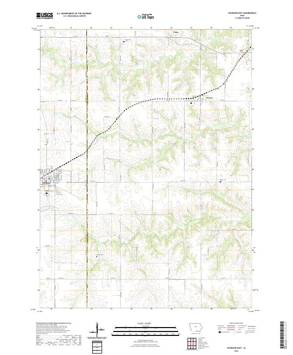
2022 Seymour East
Appanoose County, IA