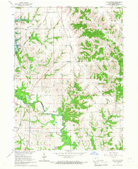
1966 Map of Hiattsville
USGS Topo · Published 1967About this map
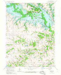
The Chariton River valley undergoes a significant transformation on this mid-1960s survey, showing the Rathbun Reservoir (Under Constr) with blue hatching indicating areas soon to be submerged. This massive flood control project, part of the Missouri River Basin development, dominates the western landscape between Darbyville and Maine. The map documents a rural Iowa society deeply rooted in small townships like Taylor, Douglas, and Vermilion, where life revolved around local gathering points such as the Community Center and numerous country burying grounds including Haynes Cem and Dale Cem.
Find a feature on this map
35 named features on this map. Tap any name to fly to it.
Don’t see what you’re looking for? This feature index may not catch every label — zoom into the map to look around manually.
Map Details
Editions of this 1966 Hiattsville Map
This is the sole edition of this map. No revisions or reprints were ever made.
Other maps of this area
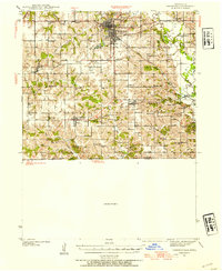
1939 · Centerville
USGS Topo · 1:62,500
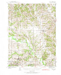
1939 · Mystic
USGS Topo · 1:62,500
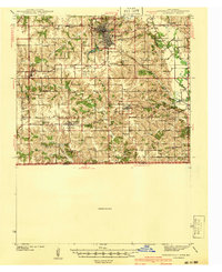
1941 · Centerville
USGS Topo · 1:62,500
1942 · Mystic
USGS Topo · 1:62,500

1954 · Centerville
USGS Topo · 1:250,000

1957 · Centerville
USGS Topo · 1:250,000

1958 · Centerville
USGS Topo · 1:250,000
1966 · Mystic
USGS Topo · 1:24,000
1968 · Unionville
USGS Topo · 1:24,000
1968 · Blakesburg
USGS Topo · 1:24,000