
1968 Map of Unionville
USGS Topo · Published 1971About this map
The agrarian landscape of southern Iowa is defined by a network of drainage systems and transportation corridors in this late 1960s survey. The small community of Unionville serves as a central hub, surrounded by the townships of Union, Marion, Udell, and Washington. A significant industrial and historical footprint is visible through the Chicago Rock Island and Pacific rail line and an Old Railroad Grade that cuts through the topography, reflecting the region's historical reliance on rail for moving goods.
Find a feature on this map
20 named features on this map. Tap any name to fly to it.
Don’t see what you’re looking for? This feature index may not catch every label — zoom into the map to look around manually.
Map Details
Editions of this 1968 Unionville Map
This is the sole edition of this map. No revisions or reprints were ever made.
Other maps of this area

1939 · Centerville
USGS Topo · 1:62,500

1939 · Mystic
USGS Topo · 1:62,500

1941 · Centerville
USGS Topo · 1:62,500

1942 · Mystic
USGS Topo · 1:62,500

1954 · Centerville
USGS Topo · 1:250,000

1957 · Centerville
USGS Topo · 1:250,000

1958 · Centerville
USGS Topo · 1:250,000

1966 · Hiattsville
USGS Topo · 1:24,000
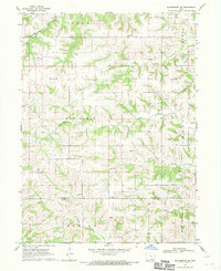
1968 · Blakesburg NE
USGS Topo · 1:24,000
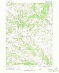
1968 · Blakesburg
USGS Topo · 1:24,000