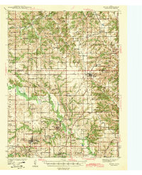
1966 Map of Mystic
USGS Topo · Published 1967About this map
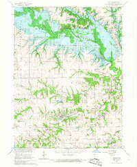
Rathbun Reservoir dominates the northern landscape of this Appanoose County region, captured during a pivotal moment of environmental transformation. The map documents the Rathbun Dam (under construction) along the Chariton River, with blue hatching indicating areas soon to be submerged. This transition from river valley to reservoir changed the local geography significantly, yet the mid-century infrastructure of the coal and rail era remains visible.
Find a feature on this map
46 named features on this map. Tap any name to fly to it.
Don’t see what you’re looking for? This feature index may not catch every label — zoom into the map to look around manually.
Map Details
Editions of this 1966 Mystic Map
This is the sole edition of this map. No revisions or reprints were ever made.
Other maps of this area

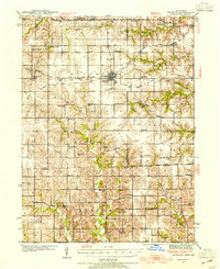
1935 · Russell
USGS Topo · 1:62,500

1938 · Russell
USGS Topo · 1:62,500
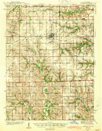
1939 · Centerville
USGS Topo · 1:62,500
1939 · Mystic
USGS Topo · 1:62,500
1941 · Centerville
USGS Topo · 1:62,500
1942 · Mystic
USGS Topo · 1:62,500
1942 · Seymour
USGS Topo · 1:62,500
1944 · Seymour
USGS Topo · 1:62,500

1954 · Centerville
USGS Topo · 1:250,000

1957 · Centerville
USGS Topo · 1:250,000