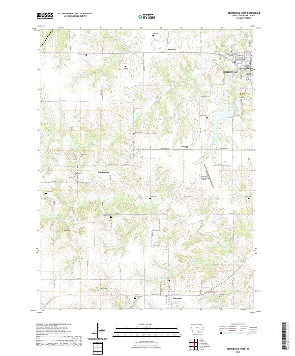
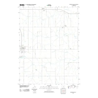
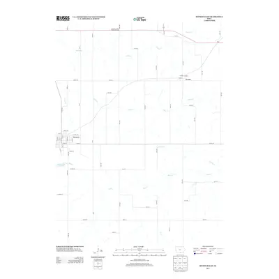
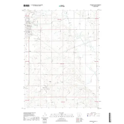
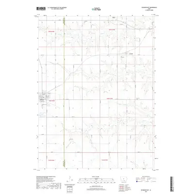
2022 Map of Centerville West
USGS Topo · Published 2022About this map
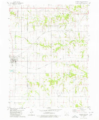
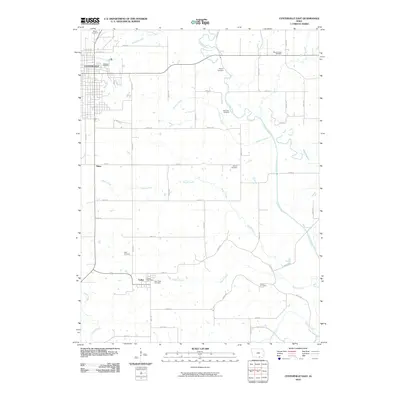
The southwest corner of Centerville anchors this portion of Appanoose County, where the city's residential grid gives way to the open agricultural lands of southern Iowa. The landscape is defined by the drainage of Cooper Cr and Shoal Cr, which carve through the terrain between small rural communities like Cincinnati, Numa, and Martinstown. This survey documents a high density of rural burial grounds, including the County Farm Cem, Hibbsville Cem, and Motto Cem, offering significant value for genealogical research in these townships.
Find a feature on this map
62 named features on this map. Tap any name to fly to it.
Don’t see what you’re looking for? This feature index may not catch every label — zoom into the map to look around manually.
Map Details
Editions of this 2022 Centerville West Map
This is the sole edition of this map. No revisions or reprints were ever made.
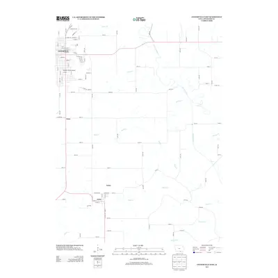
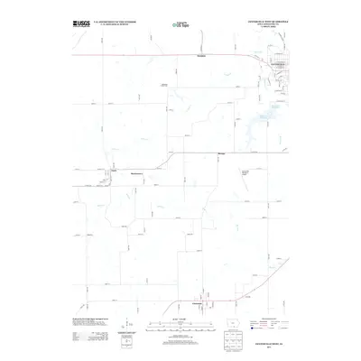
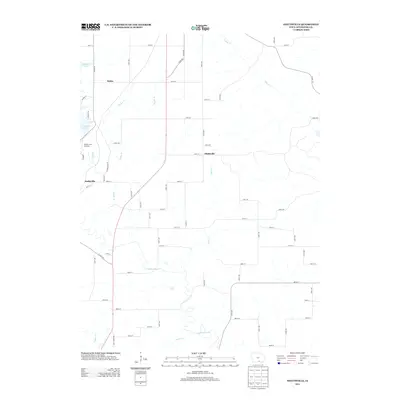
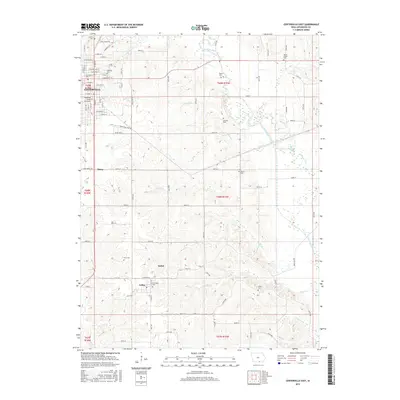
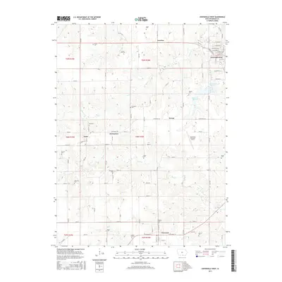
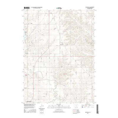
Historical Maps of Centerville Through Time
24 maps found
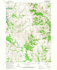
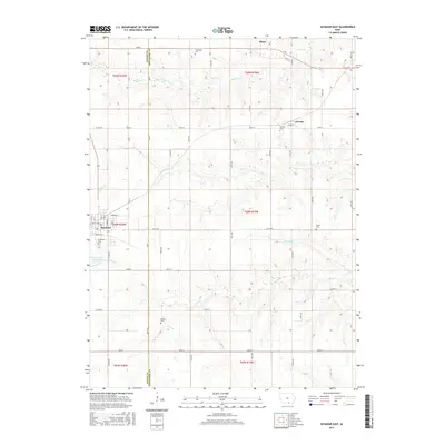
1966 Hiattsville
Appanoose County, IA
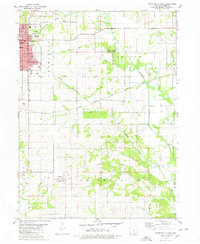
1979 Centerville East
Appanoose County, IA
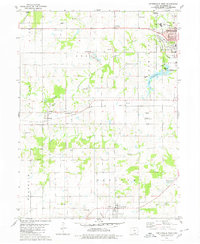
1979 Centerville West
Appanoose County, IA
1979 Seymour East
Appanoose County, IA
2010 Centerville East
Appanoose County, IA
2010 Centerville West
Appanoose County, IA
2010 Hiattsville
Appanoose County, IA
2010 Seymour East
Appanoose County, IA
2013 Centerville East
Appanoose County, IA
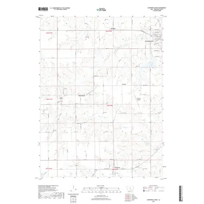
2013 Centerville West
Appanoose County, IA
2013 Hiattsville
Appanoose County, IA
2013 Seymour East
Appanoose County, IA
2015 Centerville East
Appanoose County, IA
2015 Centerville West
Appanoose County, IA
2015 Hiattsville
Appanoose County, IA
2015 Seymour East
Appanoose County, IA
2018 Centerville East
Appanoose County, IA
2018 Centerville West
Appanoose County, IA
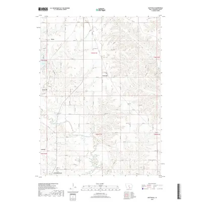
2018 Hiattsville
Appanoose County, IA
2018 Seymour East
Appanoose County, IA
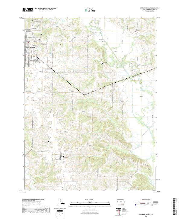
2022 Centerville East
Appanoose County, IA
2022 Centerville West
Appanoose County, IA
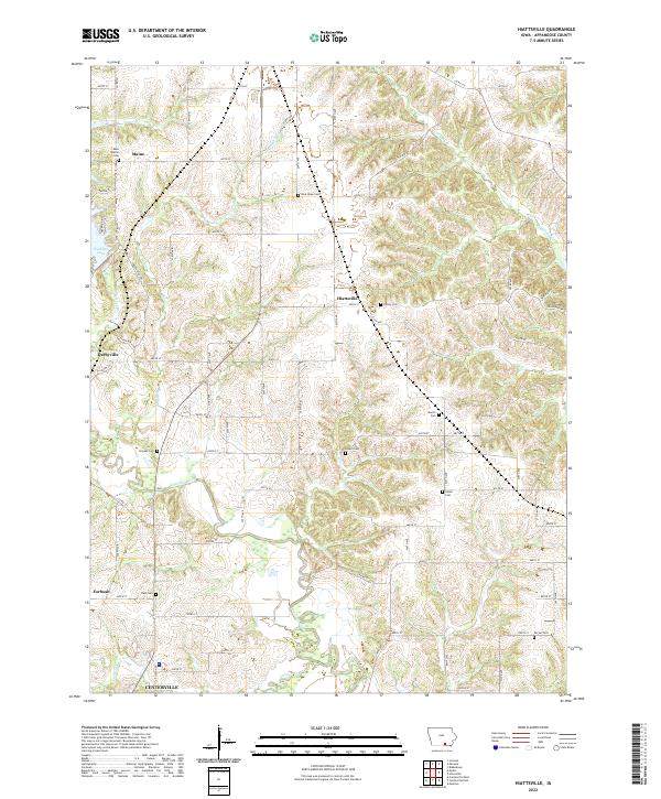
2022 Hiattsville
Appanoose County, IA
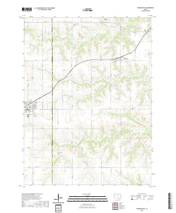
2022 Seymour East
Appanoose County, IA