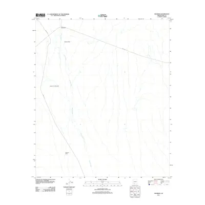
2011 Map of Hickiwan
USGS Topo · Published 2011About this map
Hickiwan sits at the northern edge of this high-desert landscape in Pima County, serving as a primary point of reference in an area defined by its drainage systems and desert peaks. The drainage of Hickiwan Wash dominates the hydrology, carving south through the Hickiwan Valley. The terrain is punctuated by distinctive volcanic or rocky landmarks, most notably Hickiwan Peak near the settlement and Black Circle Mountain to the southwest.
Find a feature on this map
7 named features on this map. Tap any name to fly to it.
Don’t see what you’re looking for? This feature index may not catch every label — zoom into the map to look around manually.
Map Details
Editions of this 2011 Hickiwan Map
This is the sole edition of this map. No revisions or reprints were ever made.
Other maps of this area

1953 · Ajo
USGS Topo · 1:250,000

1957 · Ajo
USGS Topo · 1:250,000

1958 · Ajo
USGS Topo · 1:250,000

1962 · Ajo
USGS Topo · 1:250,000

1963 · Ajo
USGS Topo · 1:250,000

1963 · Sikort Chuapo Mts
USGS Topo · 1:62,500

1963 · Mt. Ajo
USGS Topo · 1:62,500

1963 · Cimarron Peak
USGS Topo · 1:62,500

1963 · Pisinimo
USGS Topo · 1:62,500

1967 · Ajo
USGS Topo · 1:250,000