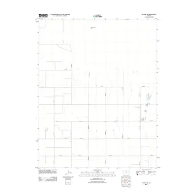
2012 Map of Hickok NE
USGS Topo · Published 2012About this map
Pleasant Prairie Oil Field occupies the northern reaches of this High Plains landscape, signaling the underground resources that drive the local economy in this part of Grant County. The surface is defined by a rigid section-line grid of rural routes, including Co Road AA and Co Road BB, which facilitate the movement of livestock and agricultural goods. A concentrated area of industrial activity is centered around the Hitch Feeders II Inc. Airport, reflecting the specialized aviation needs of the regional cattle feeding industry. This network of roads, such as Co Rd-60 and E Road 7, connects the isolated farmsteads and agricultural facilities that dot the open prairie, providing a clear record of land use and transportation during the early twenty-first century.
Find a feature on this map
18 named features on this map. Tap any name to fly to it.
Don’t see what you’re looking for? This feature index may not catch every label — zoom into the map to look around manually.
Map Details
Editions of this 2012 Hickok NE Map
This is the sole edition of this map. No revisions or reprints were ever made.
Other maps of this area

1891 · Larned
USGS Topo · 1:125,000

1896 · Garden
USGS Topo · 1:125,000

1900 · Lakin
USGS Topo · 1:125,000

1955 · Dodge City
USGS Topo · 1:250,000

1958 · Dodge City
USGS Topo · 1:250,000

1959 · Dodge City
USGS Topo · 1:250,000

1959 · Hickok NW
USGS Topo · 1:24,000

1959 · Hickok
USGS Topo · 1:24,000

1959 · Garden City 3 NW
USGS Topo · 1:24,000

1959 · Hickok NE
USGS Topo · 1:24,000