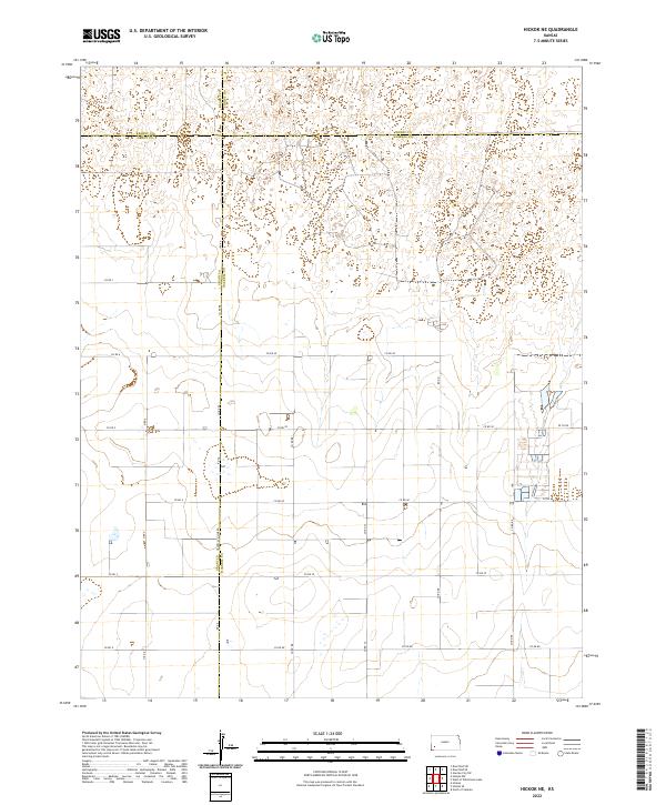
2022 Map of Hickok NE
USGS Topo · Published 2022About this map
High plains agriculture and geometric land divisions define this section of Western Kansas at the intersection of four counties. The landscape is characterized by a precise grid of rural thoroughfares, including Rd Aa, Co Rd 88, and Co Rd Cc, which facilitate movement across the sprawling township and range sections. A significant boundary point occurs where the Grant Co Haskell Co Line Rd meets the edges of Kearny and Finney counties, illustrating the orderly administrative partitioning of the prairie. The terrain features numerous intermittent depressions and basins, a common geological trait of the region, while the road network, including north-south routes like N Rd X, serves as the primary infrastructure for the area's farming and ranching operations.
Find a feature on this map
30 named features on this map. Tap any name to fly to it.
Don’t see what you’re looking for? This feature index may not catch every label — zoom into the map to look around manually.
Map Details
Editions of this 2022 Hickok NE Map
This is the sole edition of this map. No revisions or reprints were ever made.
Other maps of this area

1891 · Larned
USGS Topo · 1:125,000

1896 · Garden
USGS Topo · 1:125,000

1900 · Lakin
USGS Topo · 1:125,000

1955 · Dodge City
USGS Topo · 1:250,000

1958 · Dodge City
USGS Topo · 1:250,000

1959 · Dodge City
USGS Topo · 1:250,000

1959 · Hickok NW
USGS Topo · 1:24,000

1959 · Hickok
USGS Topo · 1:24,000

1959 · Garden City 3 NW
USGS Topo · 1:24,000

1959 · Hickok NE
USGS Topo · 1:24,000