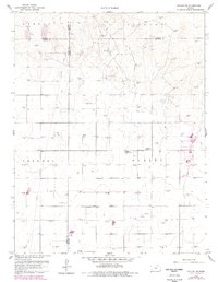
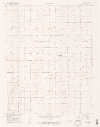
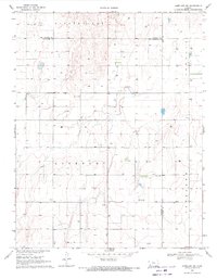
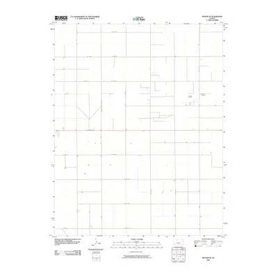
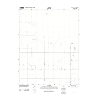
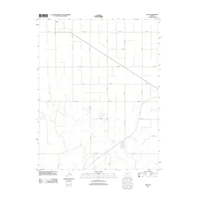
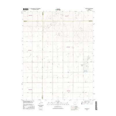
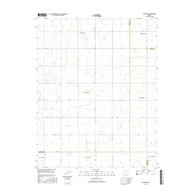
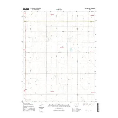
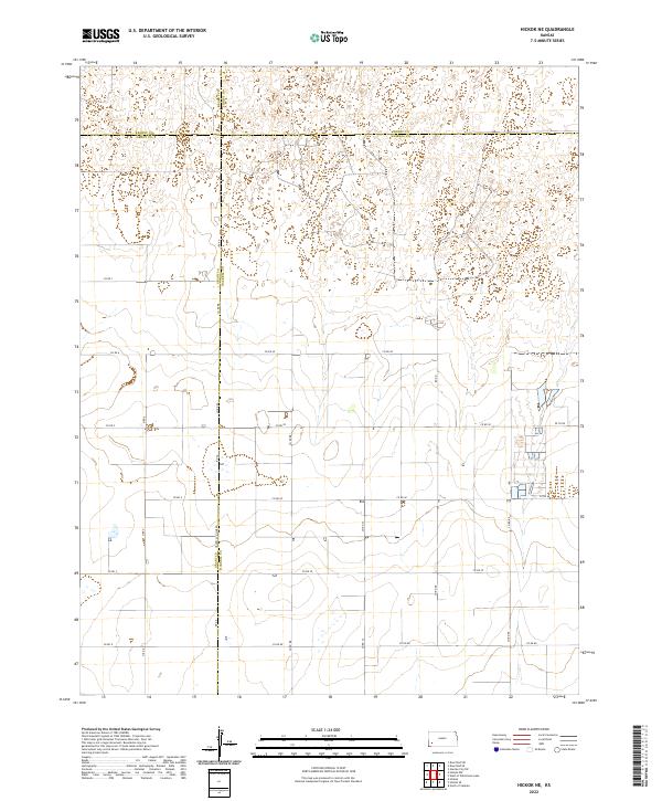
1959 Map of Hickok NE
USGS Topo · Published 1978About this map
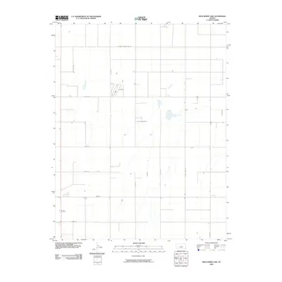
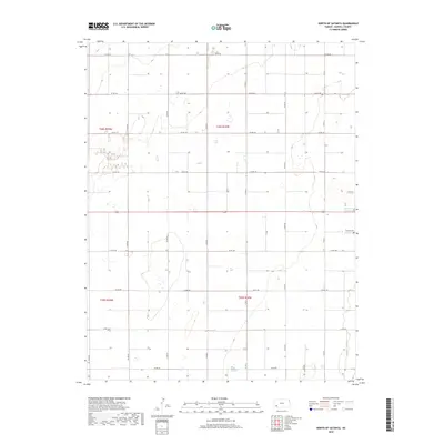
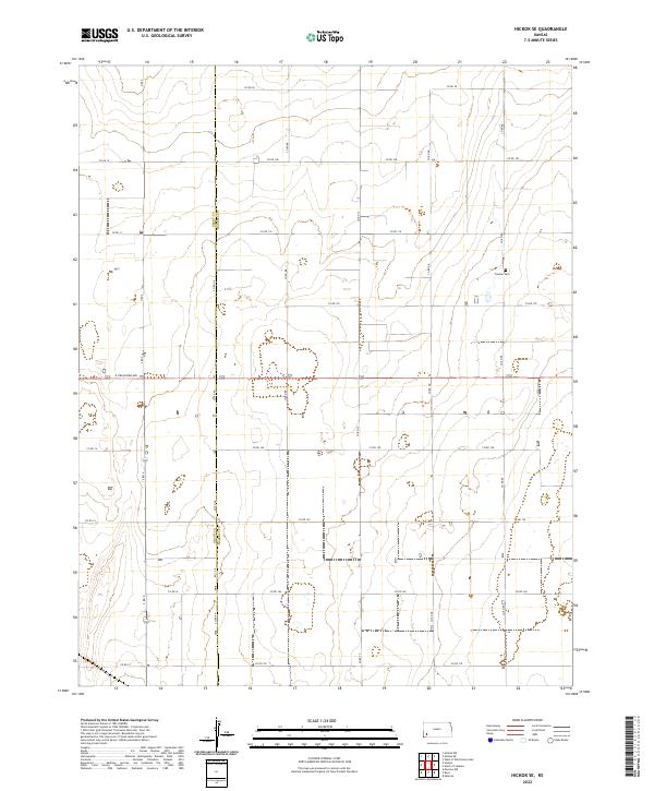
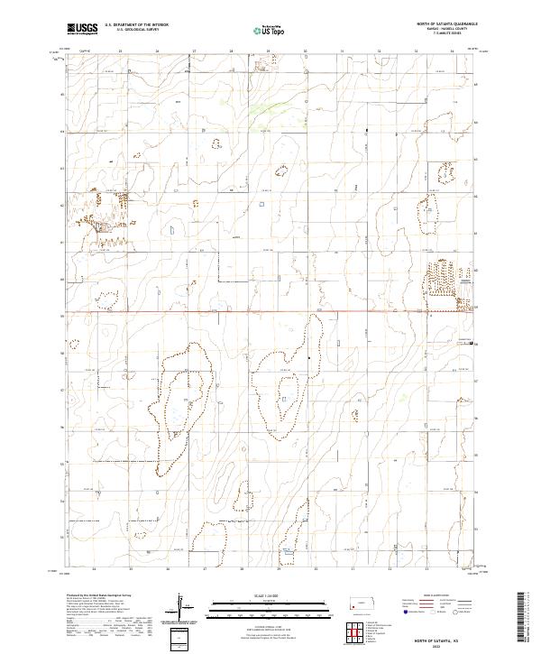
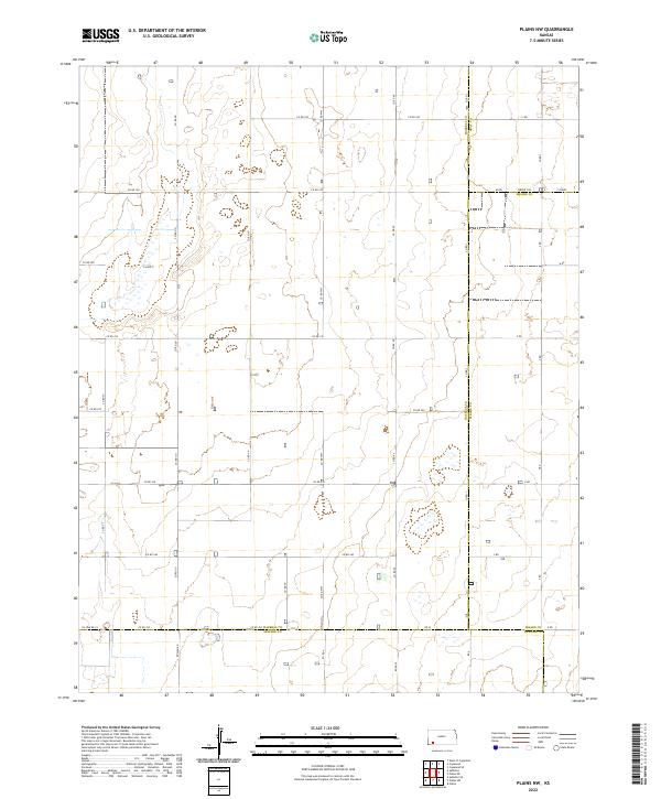
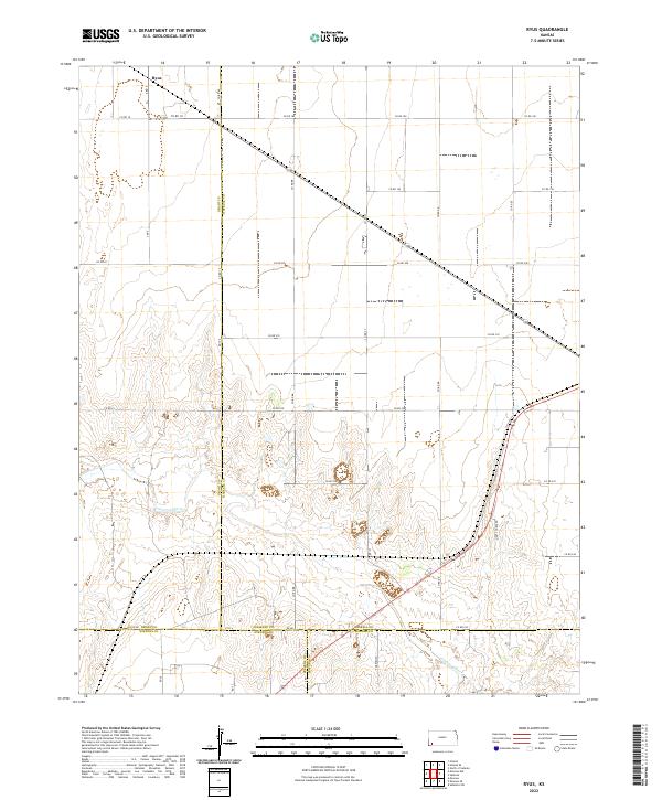
The Pleasant Prairie Oil Field dominates this corner of Southwest Kansas, where the intersection of Kearny, Finney, Grant, and Haskell counties defines the landscape. Surveyed in 1959 with updates through the late 1970s, the map reveals an intensive network of energy extraction across Kendall, Ivanhoe, Sherman, and Dudley townships. The density of industrial features like the Pipeline and numerous Gas Wells and Oil Wells illustrates the region's post-war economic shift toward natural gas production. Amidst this industrial grid, local community hubs remain visible, such as the Pleasant Prairie Ch. and the adjacent Pleasant Prairie Sch. A small Trailer Park in the eastern section of the quadrangle provides a rare marker of concentrated residential settlement in this otherwise expansive rural and industrial territory.
Find a feature on this map
16 named features on this map. Tap any name to fly to it.
Don’t see what you’re looking for? This feature index may not catch every label — zoom into the map to look around manually.
Map Details
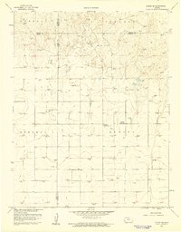
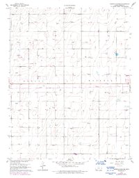
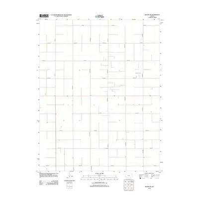
Editions of this 1959 Hickok NE Map
2 editions found
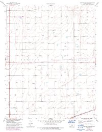
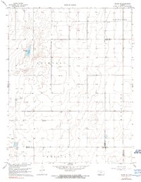
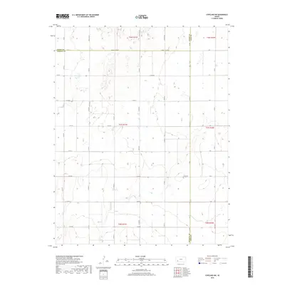
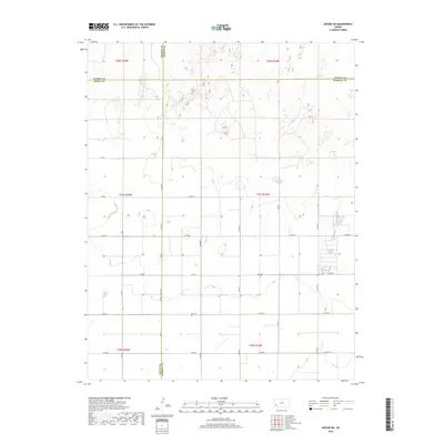
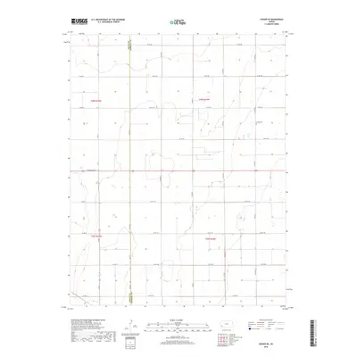
Historical Maps of Sherman Township Through Time
54 maps found
1959 Hickok NE
Haskell County, KS
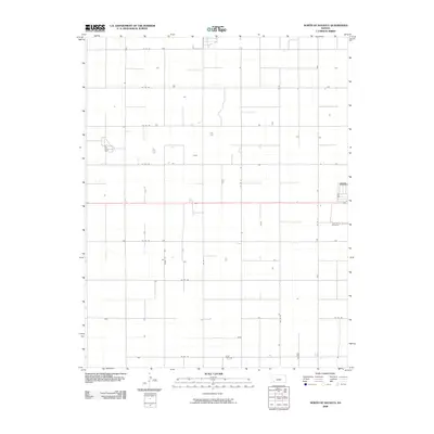
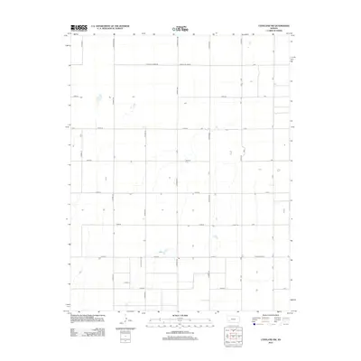
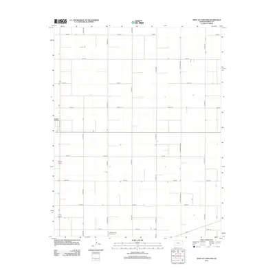
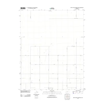
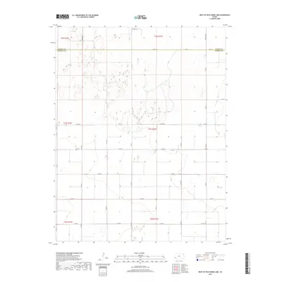
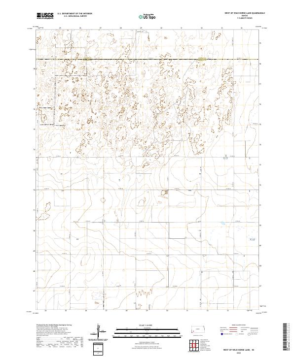
1959 West of Wild Horse Lake
Haskell County, KS
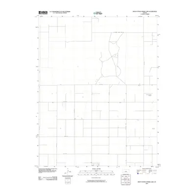
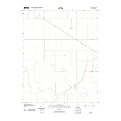
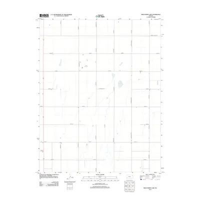
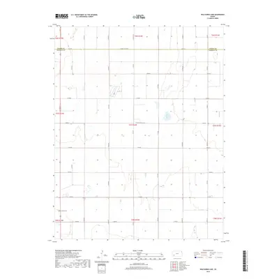
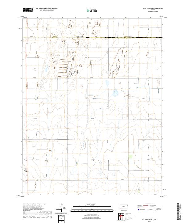
1959 Wild Horse Lake
Haskell County, KS
1960 Hickok SE
Haskell County, KS
1960 North of Satanta
Haskell County, KS
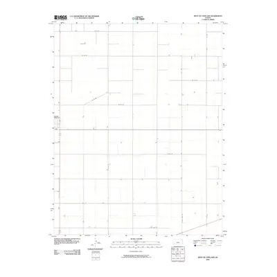
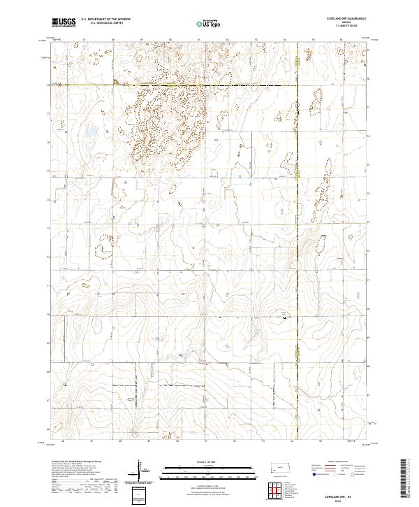
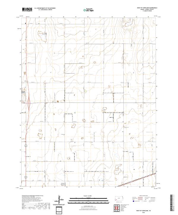
1960 West of Copeland
Haskell County, KS
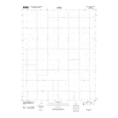
1968 Plains NW
Haskell County, KS
1969 Copeland NW
Haskell County, KS
1975 Ryus
Haskell County, KS
2009 Copeland NW
Haskell County, KS
2009 Hickok NE
Haskell County, KS
2009 Hickok SE
Haskell County, KS
2009 North of Satanta
Haskell County, KS
2009 West of Copeland
Haskell County, KS
2009 West of Wild Horse Lake
Haskell County, KS
2009 Wild Horse Lake
Haskell County, KS
2010 Plains NW
Haskell County, KS
2010 Ryus
Haskell County, KS
2012 Copeland NW
Haskell County, KS
2012 Hickok NE
Haskell County, KS
2012 Hickok SE
Haskell County, KS
2012 North of Satanta
Haskell County, KS
2012 Plains NW
Haskell County, KS
2012 Ryus
Haskell County, KS
2012 West of Copeland
Haskell County, KS
2012 West of Wild Horse Lake
Haskell County, KS
2012 Wild Horse Lake
Haskell County, KS
2015 Hickok NE
Haskell County, KS
2016 Copeland NW
Haskell County, KS
2016 Hickok SE
Haskell County, KS
2016 North of Satanta
Haskell County, KS
2016 Plains NW
Haskell County, KS
2016 Ryus
Haskell County, KS
2016 West of Copeland
Haskell County, KS
2016 West of Wild Horse Lake
Haskell County, KS
2016 Wild Horse Lake
Haskell County, KS
2018 Copeland NW
Haskell County, KS
2018 Hickok NE
Haskell County, KS
2018 Hickok SE
Haskell County, KS
2018 North of Satanta
Haskell County, KS
2018 Plains NW
Haskell County, KS
2018 Ryus
Haskell County, KS
2018 West of Copeland
Haskell County, KS
2018 West of Wild Horse Lake
Haskell County, KS
2018 Wild Horse Lake
Haskell County, KS
2022 Copeland NW
Haskell County, KS
2022 Hickok NE
Haskell County, KS
2022 Hickok SE
Haskell County, KS
2022 North of Satanta
Haskell County, KS
2022 Plains NW
Haskell County, KS
2022 Ryus
Haskell County, KS
2022 West of Copeland
Haskell County, KS
2022 West of Wild Horse Lake
Haskell County, KS
2022 Wild Horse Lake
Haskell County, KS