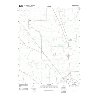
2010 Map of Hickory
USGS Topo · Published 2010About this map
Pottsville and Viola sit within a landscape defined by the branching tributaries of Mayfield Creek in Graves County. This 2010 survey documents a dense network of country roads named for local families and landmarks, such as Wright Rd, Pottsville Rd, and New Hope Church Rd. The southern portion of the map transition into the outskirts of Mayfield, evidenced by the County War Memorial Fairgrounds and Maplewood Cemetery.
Find a feature on this map
57 named features on this map. Tap any name to fly to it.
Don’t see what you’re looking for? This feature index may not catch every label — zoom into the map to look around manually.
Map Details
Editions of this 2010 Hickory Map
This is the sole edition of this map. No revisions or reprints were ever made.
Other maps of this area

1936 · Farmington
USGS Topo · 1:24,000

1936 · Melber
USGS Topo · 1:24,000

1936 · Symsonia
USGS Topo · 1:24,000

1936 · Westplains
USGS Topo · 1:24,000

1951 · Farmington
USGS Topo · 1:24,000

1951 · Melber
USGS Topo · 1:24,000

1951 · Hickory
USGS Topo · 1:24,000
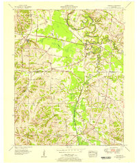
1951 · Symsonia
USGS Topo · 1:24,000
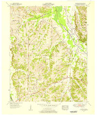
1951 · Westplains
USGS Topo · 1:24,000

1951 · Hickory
USGS Topo · 1:62,500