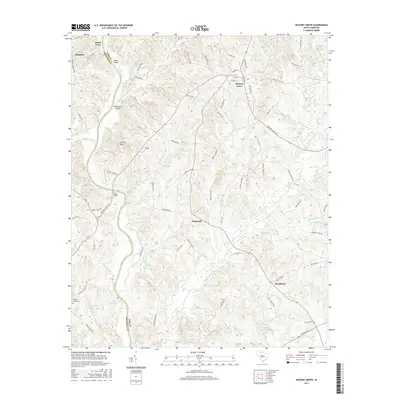
2017 Map of Hickory Grove
USGS Topo · Published 2017About this map
The Broad River carves a deep boundary between York and Cherokee Counties, anchoring a landscape defined by rolling creek drainages and small crossroads settlements. This 2017 survey shows the rural character of western York County, centered on the community of Hickory Grove, where local life is mapped along Railroad Ave and Peachtree St. The topography is punctuated by prominent landmarks like Worth Mtn and riparian features including McGowan Island and Mud Island. To the south and west, the terrain is woven with a dense network of waterways such as Thicketty Creek, Beaverdam Cr, and Bullock Creek. Historically significant crossings and family-named landmarks are documented throughout, from the Irene Bridge to the remote Pleasant Grove Cem, providing a detailed view of the region's established geography and the scattered hamlets of Hopewell and Hoodtown.
Find a feature on this map
87 named features on this map. Tap any name to fly to it.
Don’t see what you’re looking for? This feature index may not catch every label — zoom into the map to look around manually.
Map Details
Editions of this 2017 Hickory Grove Map
This is the sole edition of this map. No revisions or reprints were ever made.
Other maps of this area

1906 · Kings Mountain
USGS Topo · 1:62,500

1907 · Sharon
USGS Topo · 1:62,500

1908 · Kings Mountain
USGS Topo · 1:62,500

1909 · Gaffney
USGS Topo · 1:62,500

1941 · Spartanburg
USGS Topo · 1:250,000

1953 · Spartanburg
USGS Topo · 1:250,000

1953 · Charlotte
USGS Topo · 1:250,000

1954 · Charlotte
USGS Topo · 1:250,000

1960 · Charlotte
USGS Topo · 1:250,000

1960 · Spartanburg
USGS Topo · 1:250,000