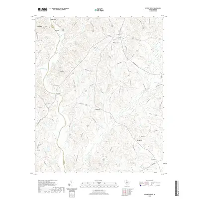
2020 Map of Hickory Grove
USGS Topo · Published 2020About this map
Hickory Grove sits as the primary crossroads in this rural section of York County, where the terrain transitions from the banks of the Broad River to the upland ridges of Worth Mountain. The western edge of the quadrangle is defined by the river’s complex shoreline, featuring Mud Island and McGowan Island near the historic crossing at Smith Ford. The landscape is deeply incised by a network of drainage systems, including Abingdon Creek, Thicketty Creek, and Bullock Creek, which have historically dictated the placement of roads and early settlements. Small communities such as Hopewell, Hoodtown, and Abingdon are connected by a web of local routes like Howells Ferry Rd and Smithford Rd, reflecting a settlement pattern centered on agricultural and river access. The presence of Pleasant Grove Cemetery provides a specific point of interest for those researching local family lineages in this corner of the Piedmont.
Find a feature on this map
75 named features on this map. Tap any name to fly to it.
Don’t see what you’re looking for? This feature index may not catch every label — zoom into the map to look around manually.
Map Details
Editions of this 2020 Hickory Grove Map
This is the sole edition of this map. No revisions or reprints were ever made.
Other maps of this area

1906 · Kings Mountain
USGS Topo · 1:62,500

1907 · Sharon
USGS Topo · 1:62,500

1908 · Kings Mountain
USGS Topo · 1:62,500

1909 · Gaffney
USGS Topo · 1:62,500

1941 · Spartanburg
USGS Topo · 1:250,000

1953 · Spartanburg
USGS Topo · 1:250,000

1953 · Charlotte
USGS Topo · 1:250,000

1954 · Charlotte
USGS Topo · 1:250,000

1960 · Charlotte
USGS Topo · 1:250,000

1960 · Spartanburg
USGS Topo · 1:250,000