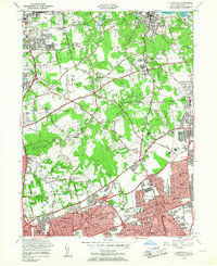
1954 Map of Hicksville
USGS Topo · Published 1957About this map
Hicksville and the surrounding north shore of Long Island undergo rapid post-war transformation as suburbanization meets the established estates of the Gold Coast. The landscape is a study in contrasts, where the densely plotted residential grids of New Cassel and Westbury push northward against the sprawling, wooded acreages of Old Brookville and Muttontown. Central to the area’s identity are the historic institutions and family legacies, including the Friends Academy in Matinecock and the T Roosevelt Grave near Oyster Bay Cove.
Find a feature on this map
92 named features on this map. Tap any name to fly to it.
Don’t see what you’re looking for? This feature index may not catch every label — zoom into the map to look around manually.
Map Details
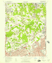
Editions of this 1954 Hicksville Map
2 editions found
Other maps of this area

1897 · Hempstead
USGS Topo · 1:62,500

1897 · Oyster Bay
USGS Topo · 1:62,500

1898 · Hempstead
USGS Topo · 1:62,500

1898 · Oyster Bay
USGS Topo · 1:62,500

1899 · Hempstead
USGS Topo · 1:62,500

1900 · Oyster Bay
USGS Topo · 1:62,500

1901 · Babylon
USGS Topo · 1:62,500

1901 · Northport
USGS Topo · 1:62,500

1903 · Babylon
USGS Topo · 1:62,500

1903 · Northport
USGS Topo · 1:62,500