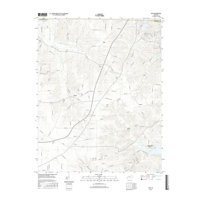
2016 Map of Hico
USGS Topo · Published 2016About this map
Kentucky Lake defines the eastern edge of this landscape, where the waters meet the winding drainages of Little Sugar Creek and Ledbetter Creek. The area is marked by several small rural hubs, including Shiloh and Faxon, situated within a network of creek-carved ridges. Genealogists and local historians will find a high density of family and community burial grounds, such as Ivie Cemetery, Sage Hill Cemetery, and Shiloh Cemetery, often located near primary road junctions. The terrain is deeply intersected by waterways like Johnathon Creek and Hopkins Branch, which likely influenced the placement of original homesteads and the winding paths of roads like Curd Cemetery Road. Notable landmarks include the Irvin Cobb Resort on the shoreline and the curiously named Buzzard Roost located just west of the lake's reach.
Find a feature on this map
119 named features on this map. Tap any name to fly to it.
Don’t see what you’re looking for? This feature index may not catch every label — zoom into the map to look around manually.
Map Details
Editions of this 2016 Hico Map
This is the sole edition of this map. No revisions or reprints were ever made.
Other maps of this area
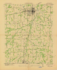
1936 · Hazel
USGS Topo · 1:24,000
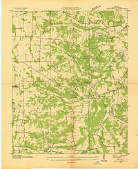
1936 · New Concord
USGS Topo · 1:24,000
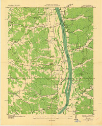
1936 · Hamlin
USGS Topo · 1:24,000
1936 · Fenton
USGS Topo · 1:24,000
1936 · Hardin
USGS Topo · 1:24,000
1936 · Hiatt
USGS Topo · 1:24,000
1936 · Benton
USGS Topo · 1:48,000
1936 · Golden Pond
USGS Topo · 1:48,000
1936 · Rushing
USGS Topo · 1:24,000
1936 · Dexter
USGS Topo · 1:24,000