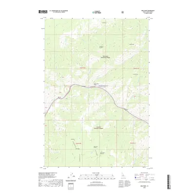
2020 Map of Hida Point
USGS Topo · Published 2020About this map
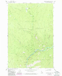
Salmon River canyons define this Idaho County landscape, where the waterway carves a deep path between the Clearwater Mountains and the Salmon River Mountains. The river corridor is marked by several named bars and rapids, including Bargamin Rapids, Bailey Bar, and Rattlesnake Bar, which hint at the historical river navigation and seasonal camps of the region. High above the water, White Bird Meadow and Hida Ridge provide a distinct contrast to the steep riverbanks, marking the transition into the high-elevation forests of the Nez Perce National Forest and Payette National Forest. This 2020 survey illustrates a wilderness nearly devoid of permanent modern development, instead emphasizing topographical landmarks such as Crown Point, Hida Point, and Rainey Point that have served as navigational waypoints for generations of backcountry travelers.
Find a feature on this map
41 named features on this map. Tap any name to fly to it.
Don’t see what you’re looking for? This feature index may not catch every label — zoom into the map to look around manually.
Map Details
Editions of this 2020 Hida Point Map
This is the sole edition of this map. No revisions or reprints were ever made.
Other maps of this area

1956 · Elk City
USGS Topo · 1:250,000

1960 · Elk City
USGS Topo · 1:250,000
1974 · Meadow Of Doubt
USGS Topo · 1:24,000
1977 · Boston Mtn
USGS Topo · 1:24,000
1978 · Arctic Point
USGS Topo · 1:24,000
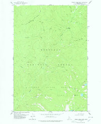
1978 · Spread Creek Point
USGS Topo · 1:24,000
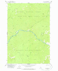
1978 · Hida Point
USGS Topo · 1:24,000
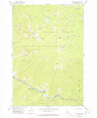
1978 · Sheep Hill
USGS Topo · 1:24,000
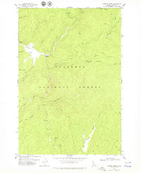
1978 · Trapper Creek
USGS Topo · 1:24,000
1979 · Whitewater Ranch
USGS Topo · 1:24,000