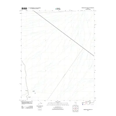
2012 Map of Hidden Hills Ranch
USGS Topo · Published 2012About this map
Hidden Hills Ranch and Younts Ranch anchor this high-desert landscape in Clark County, showing the sparse but distinct settlement patterns in the Pahrump Valley area. The terrain is defined by the alluvial fans and drainage channels characteristic of the Mojave, with Cathedral Canyon cutting through the southern portion of the sheet. Transportation and infrastructure are central to the map's layout, highlighted by the diagonal transit of the Old Spanish Trail Hwy and the presence of the Hidden Hills Airport. This survey provides a clear look at the intersection of modern aviation and historic corridors like Trout Canyon Rd, reflecting the continued utility of family-named ranch lands in a region primarily shaped by wide-open spaces and desert topography.
Find a feature on this map
6 named features on this map. Tap any name to fly to it.
Don’t see what you’re looking for? This feature index may not catch every label — zoom into the map to look around manually.
Map Details
Editions of this 2012 Hidden Hills Ranch Map
This is the sole edition of this map. No revisions or reprints were ever made.
Other maps of this area

1907 · Las Vegas
USGS Topo · 1:250,000

1908 · Las Vegas
USGS Topo · 1:250,000

1910 · Ivanpah
USGS Topo · 1:250,000

1912 · Ivanpah
USGS Topo · 1:250,000

1942 · Ivanpah
USGS Topo · 1:250,000

1947 · Kingman
USGS Topo · 1:250,000

1948 · Kingman
USGS Topo · 1:250,000

1954 · Las Vegas
USGS Topo · 1:250,000

1954 · Kingman
USGS Topo · 1:250,000

1955 · Kingman
USGS Topo · 1:250,000