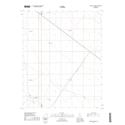
2018 Map of Hidden Hills Ranch
USGS Topo · Published 2018About this map
Hidden Hills Ranch sits on the edge of the Mojave Desert near the boundary between Nye and Clark Counties. This 2018 survey reveals a landscape defined by historic transit routes and striking natural landforms. The Old Spanish Hwy cuts diagonally across the desert floor, following a trajectory that has connected travelers across this arid region for generations. To the south, Cathedral Canyon provides a distinct geographical break in the terrain, accessed by the appropriately named Cathedral Canyon Rd. Modern infrastructure like Trout Canyon Rd and State Route 160 parallel these older paths, illustrating how contemporary travel continues to rely on established corridors through the Nevada desert.
Find a feature on this map
13 named features on this map. Tap any name to fly to it.
Don’t see what you’re looking for? This feature index may not catch every label — zoom into the map to look around manually.
Map Details
Editions of this 2018 Hidden Hills Ranch Map
This is the sole edition of this map. No revisions or reprints were ever made.
Other maps of this area
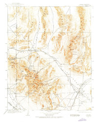
1907 · Las Vegas
USGS Topo · 1:250,000
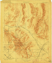
1908 · Las Vegas
USGS Topo · 1:250,000

1910 · Ivanpah
USGS Topo · 1:250,000

1912 · Ivanpah
USGS Topo · 1:250,000

1942 · Ivanpah
USGS Topo · 1:250,000

1947 · Kingman
USGS Topo · 1:250,000

1948 · Kingman
USGS Topo · 1:250,000
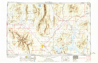
1954 · Las Vegas
USGS Topo · 1:250,000

1954 · Kingman
USGS Topo · 1:250,000

1955 · Kingman
USGS Topo · 1:250,000