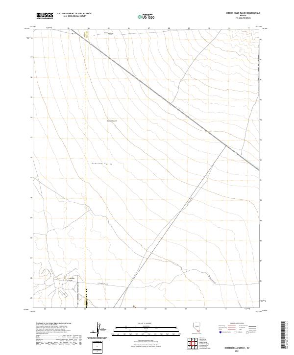
2021 Map of Hidden Hills Ranch
USGS Topo · Published 2021About this map
The Pahrump Valley floor and the surrounding Mojave Desert terrain dominate this landscape along the border of Nye and Clark Counties. The area is defined by its transit corridors, most notably the modern route of Highway 160 and the historic path of the Old Spanish Hwy. These routes cross the arid desert floor, connecting isolated desert points and skirting the base of nearby mountain ranges.
Find a feature on this map
13 named features on this map. Tap any name to fly to it.
Don’t see what you’re looking for? This feature index may not catch every label — zoom into the map to look around manually.
Map Details
Editions of this 2021 Hidden Hills Ranch Map
This is the sole edition of this map. No revisions or reprints were ever made.
Other maps of this area

1907 · Las Vegas
USGS Topo · 1:250,000

1908 · Las Vegas
USGS Topo · 1:250,000

1910 · Ivanpah
USGS Topo · 1:250,000

1912 · Ivanpah
USGS Topo · 1:250,000

1942 · Ivanpah
USGS Topo · 1:250,000

1947 · Kingman
USGS Topo · 1:250,000

1948 · Kingman
USGS Topo · 1:250,000

1954 · Las Vegas
USGS Topo · 1:250,000

1954 · Kingman
USGS Topo · 1:250,000

1955 · Kingman
USGS Topo · 1:250,000