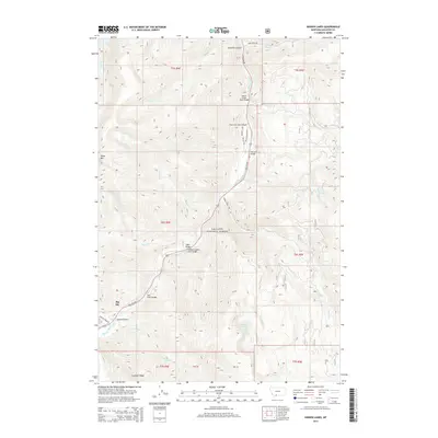
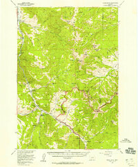
2014 Map of Hidden Lakes
USGS Topo · Published 2014About this map
Gallatin National Forest dominates this landscape, where the Gallatin River carves through the dramatic topography of Gallatin Canyon. The map documents a sophisticated network of mountain infrastructure, specifically highlighting a series of named crossings such as the Gallatin Golden Gate Bridge and the Moose Creek Flats Bridge. These landmarks, along with the Jack Smith Bridge and Anceney Bridge, illustrate the critical engineering required to navigate the waterway and its various tributaries like Portal Creek and Swan Creek.
Find a feature on this map
40 named features on this map. Tap any name to fly to it.
Don’t see what you’re looking for? This feature index may not catch every label — zoom into the map to look around manually.
Map Details
Editions of this 2014 Hidden Lakes Map
This is the sole edition of this map. No revisions or reprints were ever made.
Other maps of this area
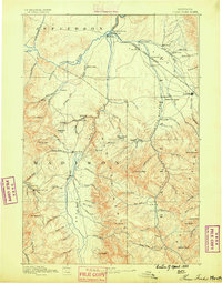
1888 · Three Forks
USGS Topo · 1:250,000
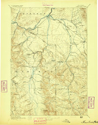
1894 · Three Forks
USGS Topo · 1:250,000
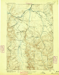
1895 · Three Forks
USGS Topo · 1:250,000

1947 · Bozeman
USGS Topo · 1:250,000

1948 · Bozeman
USGS Topo · 1:250,000
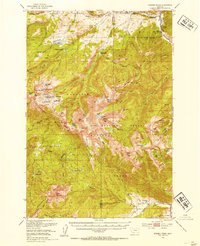
1950 · Spanish Peaks
USGS Topo · 1:62,500
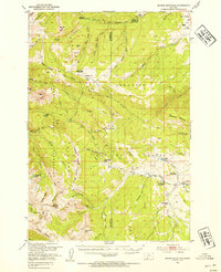
1950 · Sphinx Mountain
USGS Topo · 1:62,500
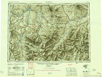
1955 · Bozeman
USGS Topo · 1:250,000
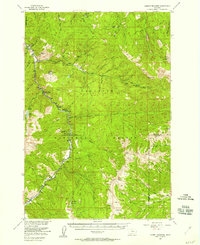
1955 · Garnet Mountain
USGS Topo · 1:62,500
1955 · Crown Butte
USGS Topo · 1:62,500