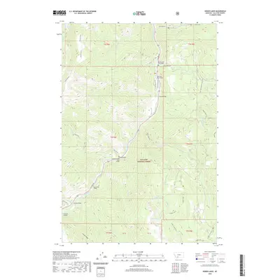
2020 Map of Hidden Lakes
USGS Topo · Published 2020About this map
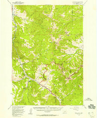
Gallatin Canyon serves as the central artery of this high-elevation landscape, where the Gallatin River is crossed by a sequence of named crossings including the Anceney Bridge, Jack Smith Bridge, and Highs Bridge. This 2020 survey of the Gallatin National Forest reveals a complex network of glacial cirque lakes and high-country drainage systems. To the west, Table Mountain overlooks the drainage of Lava Lake, while the southeastern corner is defined by the Hidden Lake Divide and the cluster of Hidden Lakes. The transportation corridor follows the river valley via Gallatin Road, providing access to backcountry routes like Portal Creek Road and Swan Creek Road. The map provides detailed relief of the high ridges separating Moose Creek from Portal Creek, tracing the steep ascent to the Golden Trout Lakes near the southern boundary.
Find a feature on this map
44 named features on this map. Tap any name to fly to it.
Don’t see what you’re looking for? This feature index may not catch every label — zoom into the map to look around manually.
Map Details
Editions of this 2020 Hidden Lakes Map
This is the sole edition of this map. No revisions or reprints were ever made.
Other maps of this area
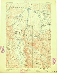
1888 · Three Forks
USGS Topo · 1:250,000
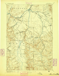
1894 · Three Forks
USGS Topo · 1:250,000
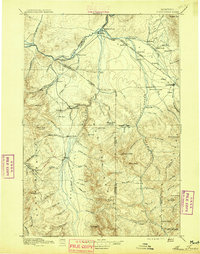
1895 · Three Forks
USGS Topo · 1:250,000

1947 · Bozeman
USGS Topo · 1:250,000

1948 · Bozeman
USGS Topo · 1:250,000
1950 · Spanish Peaks
USGS Topo · 1:62,500
1950 · Sphinx Mountain
USGS Topo · 1:62,500
1955 · Bozeman
USGS Topo · 1:250,000
1955 · Garnet Mountain
USGS Topo · 1:62,500
1955 · Crown Butte
USGS Topo · 1:62,500