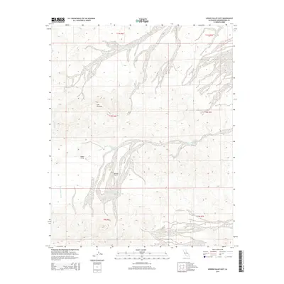
2015 Map of Hidden Valley East
USGS Topo · Published 2015About this map
Cady Mountains dominate the western portion of this landscape, rising above the arid expanse of the Mojave Desert. The map documents a complex network of ephemeral drainage patterns, most notably the winding paths of Hidden Valley Wash and Baxter Wash, which illustrate the hydraulic movement across this high-desert basin. The namesake Hidden Valley sits protected by the surrounding peaks, offering a clear view of the natural topography before any significant modern development or infrastructure altered the area. This 2015 survey, produced by the U.S. Geological Survey, provides an essential record of the natural landforms and public land survey boundaries within San Bernardino County, tracing the township and range lines across undeveloped terrain.
Find a feature on this map
11 named features on this map. Tap any name to fly to it.
Don’t see what you’re looking for? This feature index may not catch every label — zoom into the map to look around manually.
Map Details
Editions of this 2015 Hidden Valley East Map
This is the sole edition of this map. No revisions or reprints were ever made.
Other maps of this area

1933 · Avawatz Mountains
USGS Topo · 1:250,000

1947 · Trona
USGS Topo · 1:250,000

1948 · Trona
USGS Topo · 1:250,000
1948 · Cave Mountain
USGS Topo · 1:62,500
1951 · Cave Mountain
USGS Topo · 1:62,500
1953 · San Bernardino
USGS Topo · 1:250,000

1953 · Trona
USGS Topo · 1:250,000
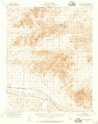
1955 · Cady Mountains
USGS Topo · 1:62,500
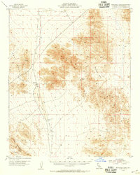
1955 · Broadwell Lake
USGS Topo · 1:62,500
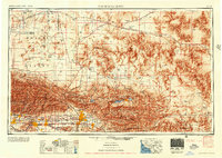
1956 · San Bernardino
USGS Topo · 1:250,000