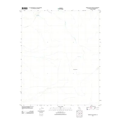
2012 Map of Hidden Valley West
USGS Topo · Published 2012About this map
Wilhelm Wash and the Mojave River define this arid landscape within the Mojave Desert. The terrain is marked by the eastern reaches of the Cady Mountains, where steep contours give way to broad alluvial plains. This environment is characterized by ephemeral drainage patterns, with seasonal runoff channels carving through the desert floor. A significant point of interest for those tracking historical water sources in the region is the Ninemile Waterhole, located in the northwestern portion of the map. This feature suggests the critical importance of localized water points for travelers and wildlife in an otherwise dry and formidable environment during the early 21st century.
Find a feature on this map
4 named features on this map. Tap any name to fly to it.
Don’t see what you’re looking for? This feature index may not catch every label — zoom into the map to look around manually.
Map Details
Editions of this 2012 Hidden Valley West Map
This is the sole edition of this map. No revisions or reprints were ever made.
Other maps of this area

1933 · Avawatz Mountains
USGS Topo · 1:250,000

1947 · Trona
USGS Topo · 1:250,000

1948 · Trona
USGS Topo · 1:250,000
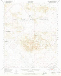
1948 · Alvord Mountain
USGS Topo · 1:62,500
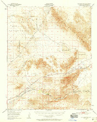
1948 · Cave Mountain
USGS Topo · 1:62,500
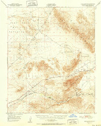
1951 · Cave Mountain
USGS Topo · 1:62,500
1951 · Alvord Mountain
USGS Topo · 1:62,500
1953 · San Bernardino
USGS Topo · 1:250,000

1953 · Trona
USGS Topo · 1:250,000
1955 · Newberry
USGS Topo · 1:62,500