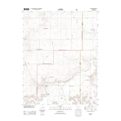
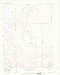
2013 Map of Higbee
USGS Topo · Published 2013About this map
Higbee sits along the southern edge of the Purgatoire River valley, serving as a focal point for this section of Otero County. The settlement is connected by the historic route of State Hwy 109 and Spring Valley Rd, with the nearby Higbee Cem offering a point of interest for genealogists tracing local families. The landscape is defined by the canyon systems of the Comanche National Grassland, where the Ninemile Canal indicates early agricultural efforts to divert water through the Ninemile Valley.
Find a feature on this map
29 named features on this map. Tap any name to fly to it.
Don’t see what you’re looking for? This feature index may not catch every label — zoom into the map to look around manually.
Map Details
Editions of this 2013 Higbee Map
This is the sole edition of this map. No revisions or reprints were ever made.
Other maps of this area
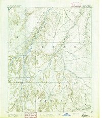
1891 · Higbee
USGS Topo · 1:125,000
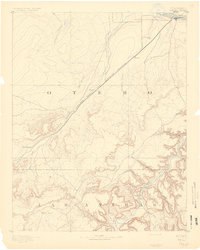
1891 · Timpas
USGS Topo · 1:125,000
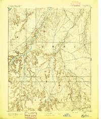
1893 · Higbee
USGS Topo · 1:125,000
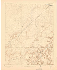
1894 · Timpas
USGS Topo · 1:125,000

1955 · La Junta
USGS Topo · 1:250,000

1958 · La Junta
USGS Topo · 1:250,000
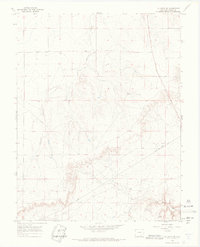
1966 · La Junta SE
USGS Topo · 1:24,000
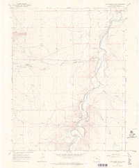
1966 · Hackamore Ranch
USGS Topo · 1:24,000
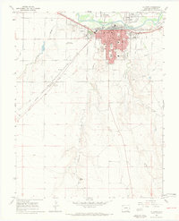
1966 · La Junta
USGS Topo · 1:24,000
1966 · Turkey Canyon
USGS Topo · 1:24,000