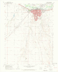
1966 Map of La Junta
USGS Topo · Published 1970About this map
La Junta serves as a significant regional hub along the Arkansas River in the mid-1960s, defined by its position on the Atchison Topeka and Santa Fe railroad line. The settlement pattern reveals a concentrated urban grid south of the river, while satellite communities like North La Junta and La Junta Gardens sit to the north. Educational institutions are a prominent feature of the local landscape, ranging from neighborhood primary schools such as Park Sch and Lincoln Sch to the campus of Otero Jr College and the local High Sch.
Find a feature on this map
35 named features on this map. Tap any name to fly to it.
Don’t see what you’re looking for? This feature index may not catch every label — zoom into the map to look around manually.
Map Details
Editions of this 1966 La Junta Map
4 editions found
Other maps of this area

1891 · Catlin
USGS Topo · 1:125,000

1891 · Higbee
USGS Topo · 1:125,000

1891 · Las Animas
USGS Topo · 1:125,000

1891 · Timpas
USGS Topo · 1:125,000

1893 · Higbee
USGS Topo · 1:125,000

1893 · Las Animas
USGS Topo · 1:125,000

1893 · Catlin
USGS Topo · 1:125,000

1894 · Timpas
USGS Topo · 1:125,000

1953 · Cheraw
USGS Topo · 1:24,000

1953 · Hadley
USGS Topo · 1:24,000