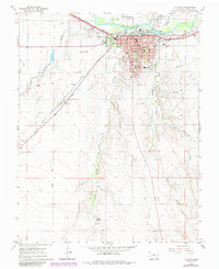
1966 Map of La Junta
USGS Topo · Published 1985About this map
The Atchison Topeka and Santa Fe railroad corridor and the Arkansas River define the industrial and agricultural layout of this Otero County region. The city of La Junta serves as a significant regional hub, shown here with its dense grid of civic institutions including the Courthouse, Otero Jr College, and numerous neighborhood schools like Columbian Sch and Lincoln Sch. The map reveals the layering of transportation history, where the modern rail lines and roads parallel the historic path of the Santa Fe Trail, which passes near a dedicated Historical Monument. To the south, the terrain shifts from the managed irrigation near La Junta Gardens to the more dramatic topography of the Dixie Bluffs, cut by drainage systems such as Anderson Arroyo and King Arroyo.
Find a feature on this map
32 named features on this map. Tap any name to fly to it.
Don’t see what you’re looking for? This feature index may not catch every label — zoom into the map to look around manually.
Map Details
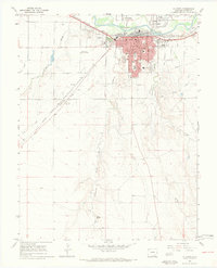
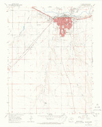
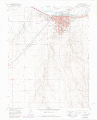
Editions of this 1966 La Junta Map
4 editions found
Other maps of this area

1891 · Catlin
USGS Topo · 1:125,000

1891 · Higbee
USGS Topo · 1:125,000

1891 · Las Animas
USGS Topo · 1:125,000

1891 · Timpas
USGS Topo · 1:125,000

1893 · Higbee
USGS Topo · 1:125,000

1893 · Las Animas
USGS Topo · 1:125,000

1893 · Catlin
USGS Topo · 1:125,000

1894 · Timpas
USGS Topo · 1:125,000

1953 · Cheraw
USGS Topo · 1:24,000

1953 · Hadley
USGS Topo · 1:24,000