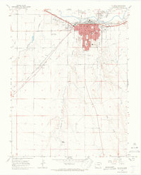
1966 Map of La Junta
USGS Topo · Published 1970About this map
La Junta serves as a critical railroad and agricultural hub in the mid-1960s, defined by its position along the Arkansas River and the sweeping tracks of the Atchison Topeka and Santa Fe railroad. The town's grid is densely packed with civic institutions, including the Courthouse, Post Office, and a wide array of educational sites such as Otero Jr College and several local schools like Lincoln Sch and South Sch. The landscape is characterized by a sophisticated irrigation network featuring the Otero Canal and various arroyos like Crooked Arroyo and Anderson Arroyo that drain toward the river valley.
Find a feature on this map
37 named features on this map. Tap any name to fly to it.
Don’t see what you’re looking for? This feature index may not catch every label — zoom into the map to look around manually.
Map Details
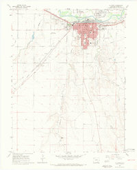
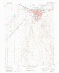
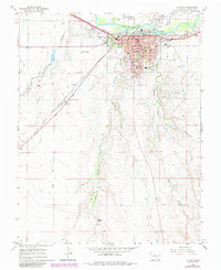
Editions of this 1966 La Junta Map
4 editions found
Other maps of this area

1891 · Catlin
USGS Topo · 1:125,000

1891 · Higbee
USGS Topo · 1:125,000

1891 · Las Animas
USGS Topo · 1:125,000

1891 · Timpas
USGS Topo · 1:125,000

1893 · Higbee
USGS Topo · 1:125,000

1893 · Las Animas
USGS Topo · 1:125,000

1893 · Catlin
USGS Topo · 1:125,000

1894 · Timpas
USGS Topo · 1:125,000

1953 · Cheraw
USGS Topo · 1:24,000

1953 · Hadley
USGS Topo · 1:24,000