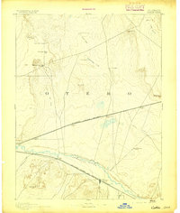
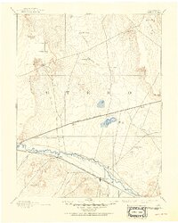
1893 Map of Catlin
USGS Topo · Published 1893About this map
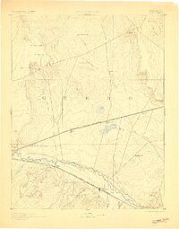
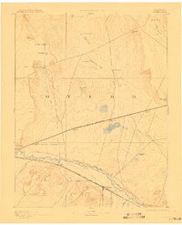
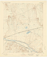
The Arkansas River serves as the vital lifeline of this high plains landscape during the late nineteenth century, supporting the early growth of Catlin and Rocky Ford. The region's transport network is defined by two major competing steel arteries: the Atchison Topeka and Santa Fe Railroad hugging the river valley, and the Missouri Pacific Railroad cutting a straighter path further north through the open range.
Find a feature on this map
30 named features on this map. Tap any name to fly to it.
Don’t see what you’re looking for? This feature index may not catch every label — zoom into the map to look around manually.
Map Details
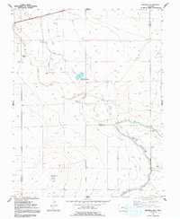
Editions of this 1893 Catlin Map
5 editions found
Historical Maps of La Junta Through Time
56 maps found

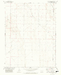
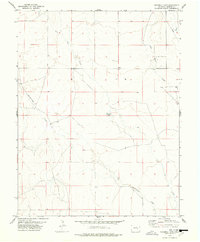
1891 Catlin
Crowley County, CO
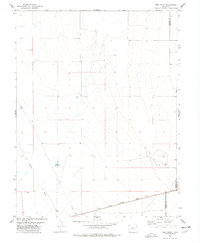
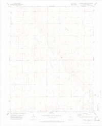
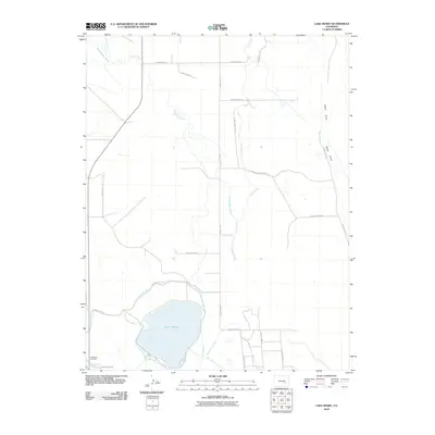
1893 Catlin
Crowley County, CO
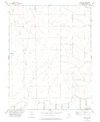
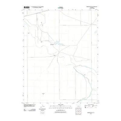
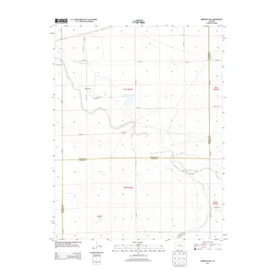
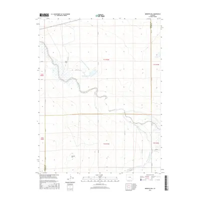
1954 Meredith Hill
Crowley County, CO
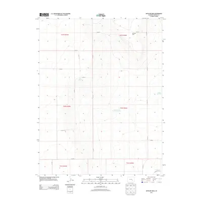
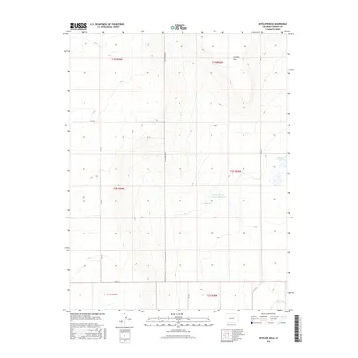
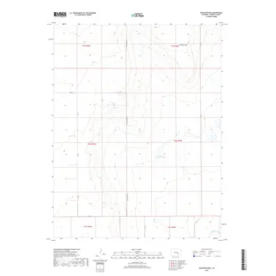
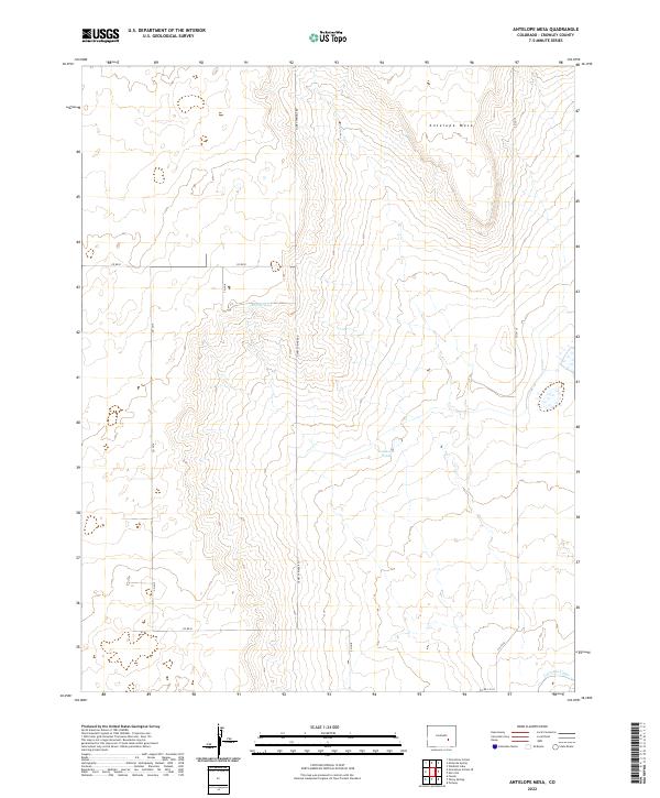
1977 Antelope Mesa
Crowley County, CO
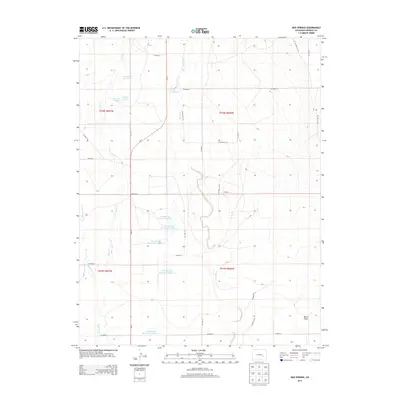
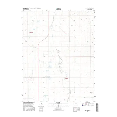
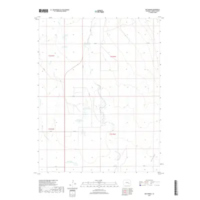
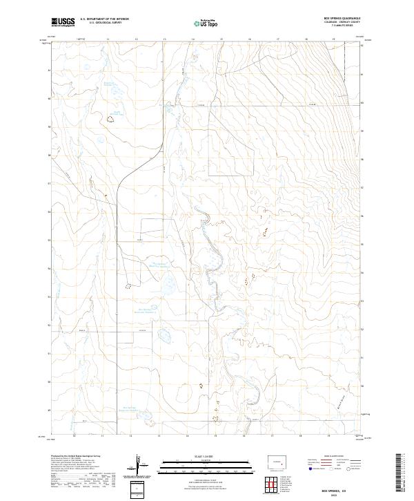
1977 Box Springs
Crowley County, CO
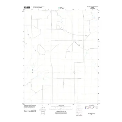
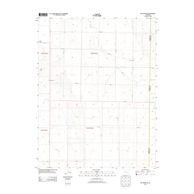
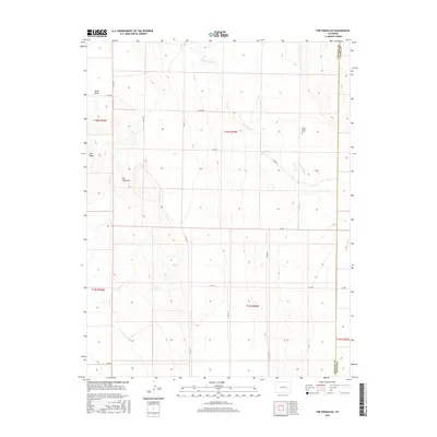
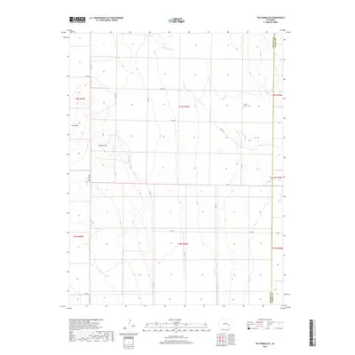
1977 The Pinnacles
Crowley County, CO
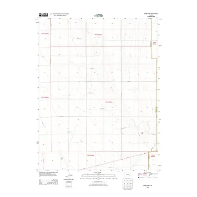
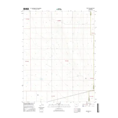
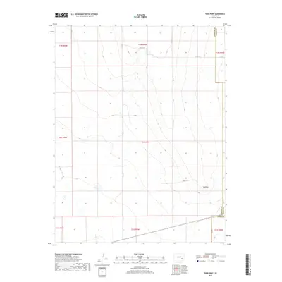
1977 Todd Point
Crowley County, CO
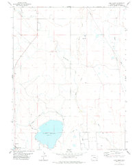
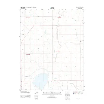
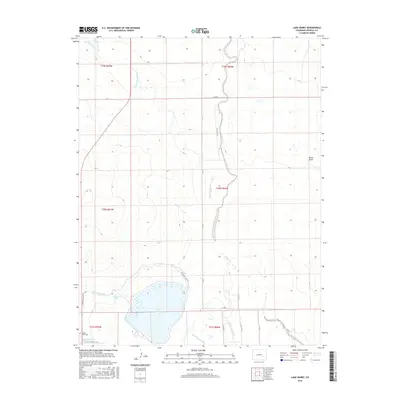
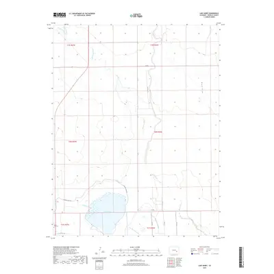
1978 Lake Henry
Crowley County, CO
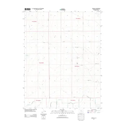
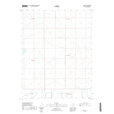
1978 Nero Hill
Crowley County, CO
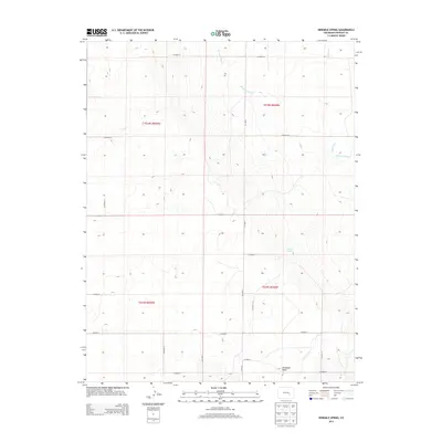
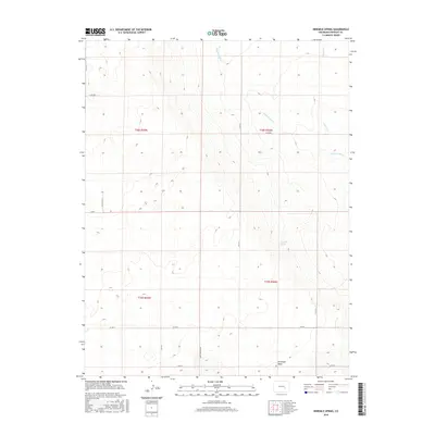
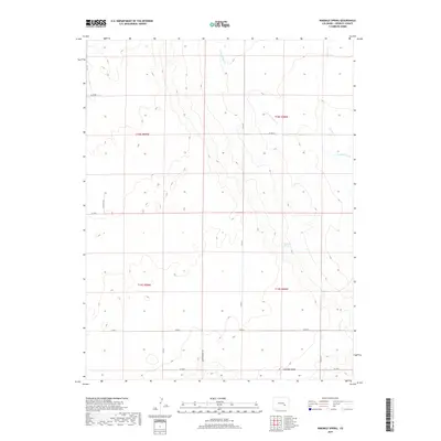
1978 Ninemile Spring
Crowley County, CO
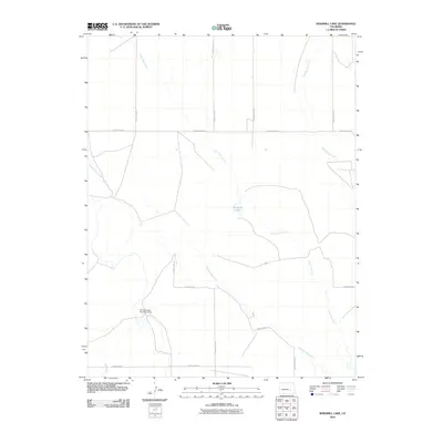
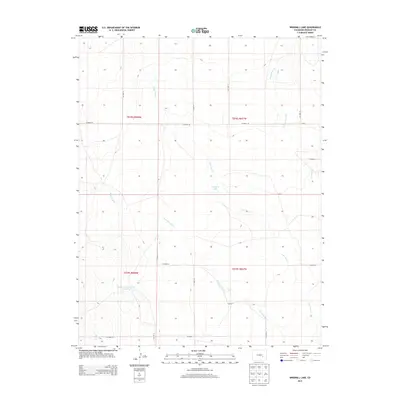
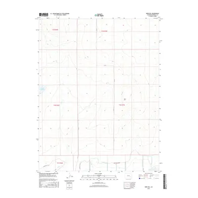
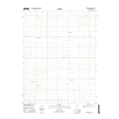
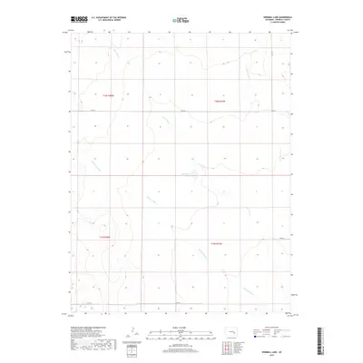
1978 Windmill Lake
Crowley County, CO
2010 Antelope Mesa
Crowley County, CO
2010 Box Springs
Crowley County, CO
2010 Lake Henry
Crowley County, CO
2010 Meredith Hill
Crowley County, CO
2010 Nero Hill
Crowley County, CO
2010 Ninemile Spring
Crowley County, CO
2010 Todd Point
Crowley County, CO
2010 Windmill Lake
Crowley County, CO
2011 The Pinnacles
Crowley County, CO
2013 Antelope Mesa
Crowley County, CO
2013 Box Springs
Crowley County, CO
2013 Lake Henry
Crowley County, CO
2013 Meredith Hill
Crowley County, CO
2013 Nero Hill
Crowley County, CO
2013 Ninemile Spring
Crowley County, CO
2013 The Pinnacles
Crowley County, CO
2013 Todd Point
Crowley County, CO
2013 Windmill Lake
Crowley County, CO
2016 Antelope Mesa
Crowley County, CO
2016 Box Springs
Crowley County, CO
2016 Lake Henry
Crowley County, CO
2016 Meredith Hill
Crowley County, CO
2016 Nero Hill
Crowley County, CO
2016 Ninemile Spring
Crowley County, CO
2016 The Pinnacles
Crowley County, CO
2016 Todd Point
Crowley County, CO
2016 Windmill Lake
Crowley County, CO
2019 Antelope Mesa
Crowley County, CO
2019 Box Springs
Crowley County, CO
2019 Lake Henry
Crowley County, CO
2019 Meredith Hill
Crowley County, CO
2019 Nero Hill
Crowley County, CO
2019 Ninemile Spring
Crowley County, CO
2019 The Pinnacles
Crowley County, CO
2019 Todd Point
Crowley County, CO
2019 Windmill Lake
Crowley County, CO
2022 Antelope Mesa
Crowley County, CO
2022 Box Springs
Crowley County, CO
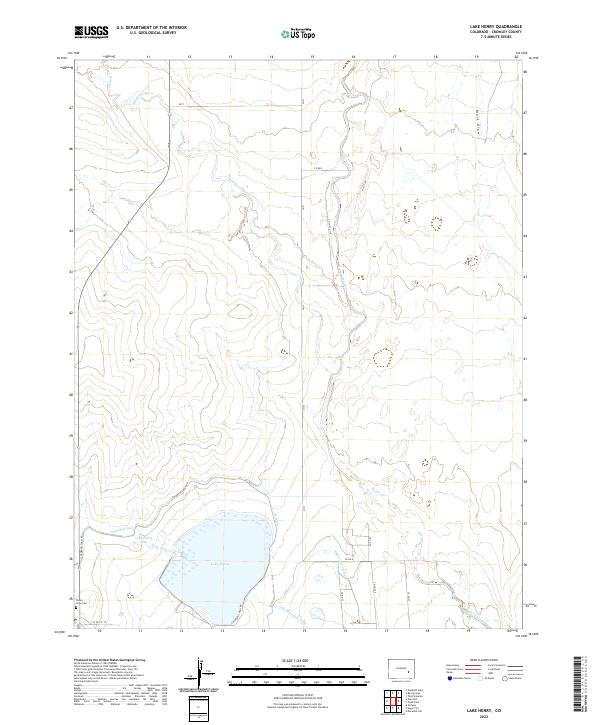
2022 Lake Henry
Crowley County, CO
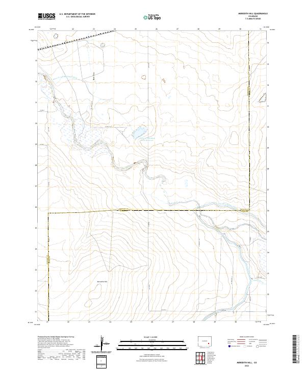
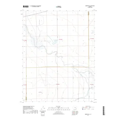
2022 Meredith Hill
Crowley County, CO
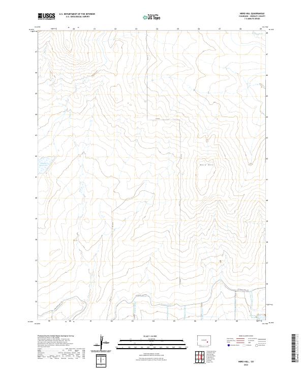
2022 Nero Hill
Crowley County, CO
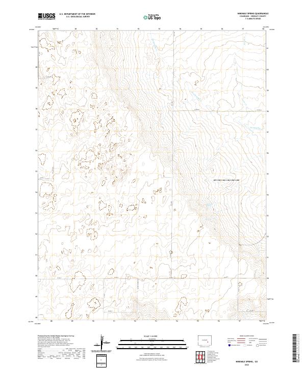
2022 Ninemile Spring
Crowley County, CO
2022 The Pinnacles
Crowley County, CO
2022 Todd Point
Crowley County, CO
2022 Windmill Lake
Crowley County, CO