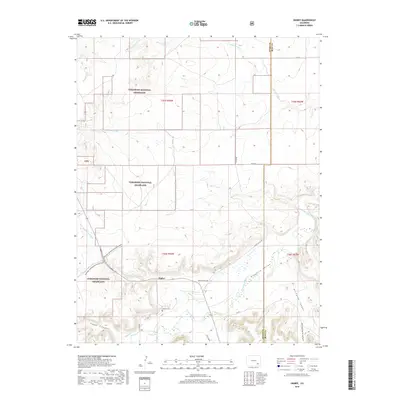
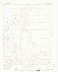
2019 Map of Higbee
USGS Topo · Published 2019About this map
The Purgatoire River winds through the southeastern Colorado plains, carving a distinct corridor through the Comanche National Grassland. The settlement of Higbee serves as the focal point of the area, situated at the confluence of the river valley and several drainage systems. Historical transport routes are prominently featured, most notably the Barlow-Sanderson Wagon Road, which traces a path across the landscape northwest of the townsite.
Find a feature on this map
26 named features on this map. Tap any name to fly to it.
Don’t see what you’re looking for? This feature index may not catch every label — zoom into the map to look around manually.
Map Details
Editions of this 2019 Higbee Map
This is the sole edition of this map. No revisions or reprints were ever made.
Other maps of this area
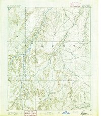
1891 · Higbee
USGS Topo · 1:125,000
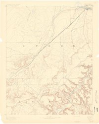
1891 · Timpas
USGS Topo · 1:125,000
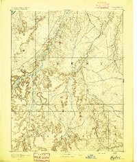
1893 · Higbee
USGS Topo · 1:125,000
1894 · Timpas
USGS Topo · 1:125,000

1955 · La Junta
USGS Topo · 1:250,000

1958 · La Junta
USGS Topo · 1:250,000
1966 · La Junta SE
USGS Topo · 1:24,000
1966 · Hackamore Ranch
USGS Topo · 1:24,000
1966 · La Junta
USGS Topo · 1:24,000
1966 · Turkey Canyon
USGS Topo · 1:24,000