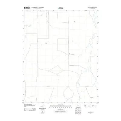
2010 Map of High Rock
USGS Topo · Published 2010About this map
Indian Rock Cemetery serves as a quiet landmark in this high plains landscape of Bent County. The 2010 geography reveals a sparse settlement pattern defined by the legacy of local education, evidenced by the Good Intent School and Prairie View School. Water management and natural drainage dictate the layout of the land, with Caddoa Creek cutting through the northwest while Mud Creek and West Mud Creek wind through the eastern reaches. The namesake High Rock rises near the junction of Antelope Creek, providing a distinct topographic marker in an area otherwise dominated by a rigid grid of county roads. The inclusion of the Scott Pierce Ditch highlights the critical role of irrigation and water rights in this arid Colorado environment.
Find a feature on this map
23 named features on this map. Tap any name to fly to it.
Don’t see what you’re looking for? This feature index may not catch every label — zoom into the map to look around manually.
Map Details
Editions of this 2010 High Rock Map
This is the sole edition of this map. No revisions or reprints were ever made.
Other maps of this area
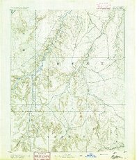
1891 · Higbee
USGS Topo · 1:125,000
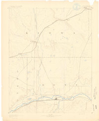
1891 · Las Animas
USGS Topo · 1:125,000
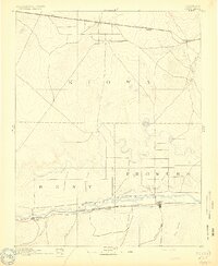
1892 · Lamar
USGS Topo · 1:125,000
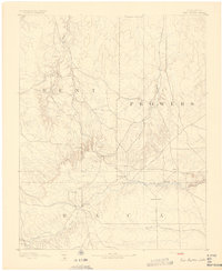
1892 · Two Butte
USGS Topo · 1:125,000
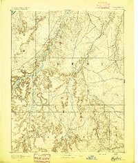
1893 · Higbee
USGS Topo · 1:125,000
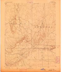
1893 · Two Butte
USGS Topo · 1:125,000
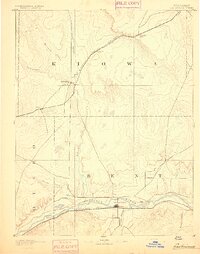
1893 · Las Animas
USGS Topo · 1:125,000
1953 · Hasty
USGS Topo · 1:24,000
1953 · Prowers
USGS Topo · 1:24,000
1953 · Kreybill
USGS Topo · 1:24,000