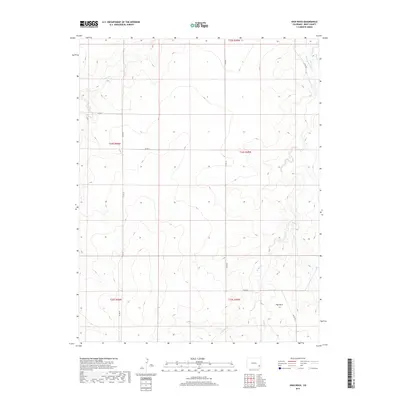
2019 Map of High Rock
USGS Topo · Published 2019About this map
High Rock serves as the namesake landmark for this portion of the high plains in Bent County, overlooking a network of seasonal drainages and early water management infrastructure. The landscape is defined by the winding course of Mud Cr, which is joined by W Mud Cr and Antelope Cr as it flows north toward larger regional basins. Human intervention in this arid environment is evident in the Scott Pierce Ditch, a vital piece of irrigation history in the northeast corner. This 2019 survey documents a grid of county roads, including Co RD 26 and Co RD U, which provide access to these remote ranching and agricultural lands. The map detail reflects the long-standing Public Land Survey System, showing the intersections of townships such as t24s r49w and t25s r50w.
Find a feature on this map
18 named features on this map. Tap any name to fly to it.
Don’t see what you’re looking for? This feature index may not catch every label — zoom into the map to look around manually.
Map Details
Editions of this 2019 High Rock Map
This is the sole edition of this map. No revisions or reprints were ever made.
Other maps of this area
1891 · Higbee
USGS Topo · 1:125,000
1891 · Las Animas
USGS Topo · 1:125,000
1892 · Lamar
USGS Topo · 1:125,000
1892 · Two Butte
USGS Topo · 1:125,000
1893 · Higbee
USGS Topo · 1:125,000
1893 · Two Butte
USGS Topo · 1:125,000
1893 · Las Animas
USGS Topo · 1:125,000
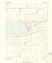
1953 · Hasty
USGS Topo · 1:24,000
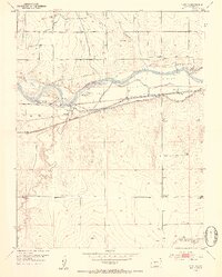
1953 · Prowers
USGS Topo · 1:24,000
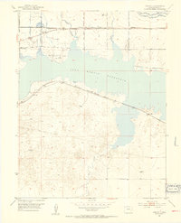
1953 · Kreybill
USGS Topo · 1:24,000