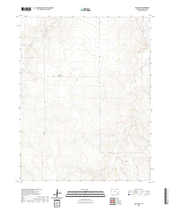
2022 Map of High Rock
USGS Topo · Published 2022About this map
High Rock rises above a landscape defined by seasonal watercourses and rural section lines in this corner of Bent County. The area is characterized by a sparse settlement pattern where human activity is marked primarily by county roads and the historic Indian Rock Cem. Water management is central to the land's utility, evidenced by the Scott Pierce Ditch in the northeast, which draws from the surrounding drainage systems. The map captures the complex network of intermittent streams, including Caddoa Cr, Mud Cr, and W Mud Cr, which carve through the terrain. This 2022 survey illustrates the enduring nature of the Public Land Survey System, with township and range boundaries such as t24s r50w organizing the open range and agricultural tracts.
Find a feature on this map
19 named features on this map. Tap any name to fly to it.
Don’t see what you’re looking for? This feature index may not catch every label — zoom into the map to look around manually.
Map Details
Editions of this 2022 High Rock Map
This is the sole edition of this map. No revisions or reprints were ever made.
Other maps of this area

1891 · Higbee
USGS Topo · 1:125,000

1891 · Las Animas
USGS Topo · 1:125,000

1892 · Lamar
USGS Topo · 1:125,000

1892 · Two Butte
USGS Topo · 1:125,000

1893 · Higbee
USGS Topo · 1:125,000

1893 · Two Butte
USGS Topo · 1:125,000

1893 · Las Animas
USGS Topo · 1:125,000

1953 · Hasty
USGS Topo · 1:24,000

1953 · Prowers
USGS Topo · 1:24,000

1953 · Kreybill
USGS Topo · 1:24,000