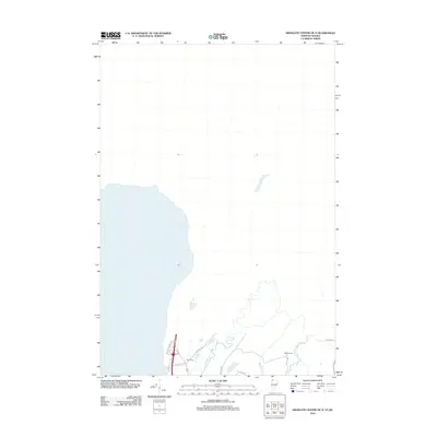
2012 Map of Highgate Center OE N
USGS Topo · Published 2012About this map
Rock River meanders through the landscape of the Vermont and Quebec borderlands, defining the drainage patterns of this sparsely populated rural region. The map highlights a network of local roads that connect scattered farmsteads and points of interest, including Welcome Center Rd and Country Club Rd. Small water bodies like Proper Pond dot the terrain, which is largely characterized by open space and agricultural paths.
Find a feature on this map
12 named features on this map. Tap any name to fly to it.
Don’t see what you’re looking for? This feature index may not catch every label — zoom into the map to look around manually.
Map Details
Editions of this 2012 Highgate Center OE N Map
This is the sole edition of this map. No revisions or reprints were ever made.
Other maps of this area

1914 · St. Albans
USGS Topo · 1:48,000

1916 · St. Albans
USGS Topo · 1:62,500

1920 · Franklin Pond
USGS Topo · 1:62,500

1922 · Enosburg Falls
USGS Topo · 1:48,000

1924 · Enosburg Falls
USGS Topo · 1:62,500

1943 · St. Albans
USGS Topo · 1:62,500

1944 · Enosburg Falls
USGS Topo · 1:62,500

1950 · Lake Champlain
USGS Topo · 1:250,000
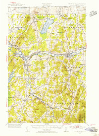
1953 · Enosburg Falls
USGS Topo · 1:62,500

1958 · Lake Champlain
USGS Topo · 1:250,000