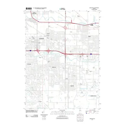
2011 Map of Highland
USGS Topo · Published 2011About this map
The Grand Calumet River and Little Calumet River define the industrial and residential corridors of Northwest Indiana in this 2011 survey. Spanning the convergence of several major municipalities, the landscape is a grid of early 21st-century urban development and critical drainage infrastructure including the Cady Marsh Ditch and Hart Ditch. Distinct neighborhoods and historically significant nodes such as Gibson, Hessville, and Woodmar are visible alongside institutional landmarks like Purdue University-Calumet.
Find a feature on this map
54 named features on this map. Tap any name to fly to it.
Don’t see what you’re looking for? This feature index may not catch every label — zoom into the map to look around manually.
Map Details
Editions of this 2011 Highland Map
This is the sole edition of this map. No revisions or reprints were ever made.
Other maps of this area

1892 · Calumet
USGS Topo · 1:62,500

1893 · Calumet
USGS Topo · 1:62,500

1900 · Toleston
USGS Topo · 1:62,500

1900 · Calumet
USGS Topo · 1:62,500

1901 · Calumet
USGS Topo · 1:62,500

1929 · Calumet Lake
USGS Topo · 1:24,000

1929 · Calumet City
USGS Topo · 1:24,000

1929 · Dyer
USGS Topo · 1:24,000

1930 · Dyer
USGS Topo · 1:24,000

1949 · Crete
USGS Topo · 1:62,500