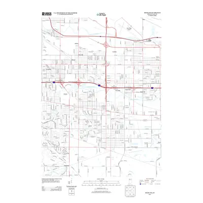
2013 Map of Highland
USGS Topo · Published 2013About this map
The Grand Calumet River and Little Calumet River define the industrial and residential geography of this Calumet Region map. In the early 21st century, these waterways, along with an extensive system of man-made channels like Cady Marsh Ditch and Schoon Ditch, manage the drainage of the low-lying terrain. The landscape is a dense network of established neighborhoods and transport corridors, including the historic settlements of Gibson, Hessville, and Black Oak.
Find a feature on this map
81 named features on this map. Tap any name to fly to it.
Don’t see what you’re looking for? This feature index may not catch every label — zoom into the map to look around manually.
Map Details
Editions of this 2013 Highland Map
This is the sole edition of this map. No revisions or reprints were ever made.
Other maps of this area

1892 · Calumet
USGS Topo · 1:62,500

1893 · Calumet
USGS Topo · 1:62,500

1900 · Toleston
USGS Topo · 1:62,500

1900 · Calumet
USGS Topo · 1:62,500

1901 · Calumet
USGS Topo · 1:62,500

1929 · Calumet Lake
USGS Topo · 1:24,000

1929 · Calumet City
USGS Topo · 1:24,000

1929 · Dyer
USGS Topo · 1:24,000

1930 · Dyer
USGS Topo · 1:24,000

1949 · Crete
USGS Topo · 1:62,500