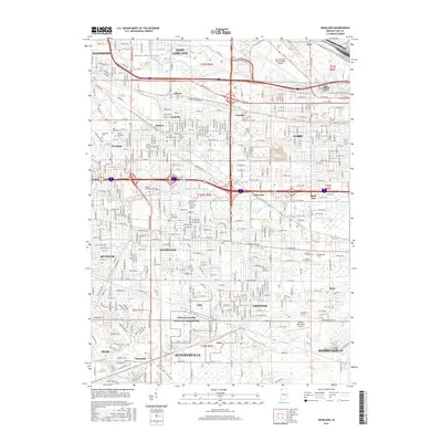
2016 Map of Highland
USGS Topo · Published 2016About this map
The industrial and residential corridors of Northwest Indiana intersect here, defined by a dense grid of railways and waterways. The Grand Calumet River and Little Calumet River navigate through a landscape of heavy transportation and commerce, connecting the established neighborhoods of Hammond, Gary, and East Chicago. This modern-era survey shows the significant footprint of regional infrastructure, including the Gary/Chicago International Airport and the sprawling Indiana Dunes National Lakeshore to the south. Local heritage is preserved in numerous family and community sites like Saint Marys Cem, Elmwood Cem, and Hope Cem. The presence of the Purdue University-Calumet Campus and the Oak Savannah Trail illustrates the area's role as a major educational and recreational hub within the Calumet Region.
Find a feature on this map
63 named features on this map. Tap any name to fly to it.
Don’t see what you’re looking for? This feature index may not catch every label — zoom into the map to look around manually.
Map Details
Editions of this 2016 Highland Map
This is the sole edition of this map. No revisions or reprints were ever made.
Other maps of this area

1892 · Calumet
USGS Topo · 1:62,500

1893 · Calumet
USGS Topo · 1:62,500

1900 · Toleston
USGS Topo · 1:62,500

1900 · Calumet
USGS Topo · 1:62,500

1901 · Calumet
USGS Topo · 1:62,500

1929 · Calumet Lake
USGS Topo · 1:24,000

1929 · Calumet City
USGS Topo · 1:24,000

1929 · Dyer
USGS Topo · 1:24,000

1930 · Dyer
USGS Topo · 1:24,000

1949 · Crete
USGS Topo · 1:62,500