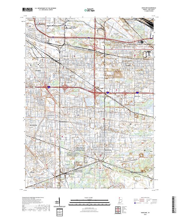
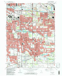
2022 Map of Highland
USGS Topo · Published 2022About this map
The Grand Calumet River and Little Calumet River define the hydraulic character of this Northwest Indiana industrial and residential corridor. In the north, the urban centers of Hammond, East Chicago, and Gary are interspersed with historical neighborhoods like Hessville and Woodmar. The landscape transitions from the heavy infrastructure of the Gary/Chicago International Airport to the conserved natural spaces of Indiana Dunes National Park, reflecting a complex history of land use.
Find a feature on this map
58 named features on this map. Tap any name to fly to it.
Don’t see what you’re looking for? This feature index may not catch every label — zoom into the map to look around manually.
Map Details
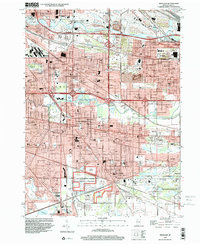
Editions of this 2022 Highland Map
This is the sole edition of this map. No revisions or reprints were ever made.
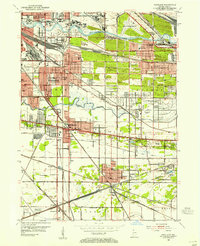
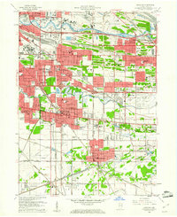
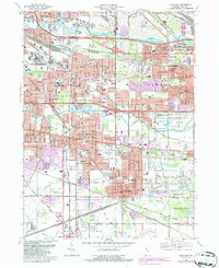
Historical Maps of Ambridge Mann Through Time
6 maps found
Featured Locations
- Schererville, IN
- Merrillville, Ross Township
- East Chicago, North Township
- Hammond, North Township
- Gary, Calumet Township