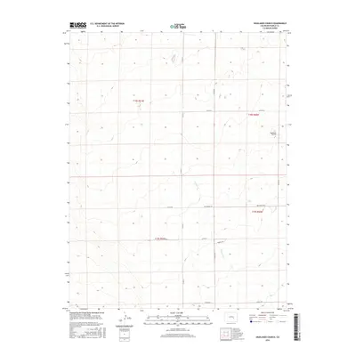
2016 Map of Highlands Church
USGS Topo · Published 2016About this map
Highlands Church stands as a focal point in this high plains landscape of Pueblo County, situated near the intersection of several section-line roads during the mid-2010s. The terrain is defined by the ephemeral drainage of Kramer Cr, which winds through a territory strictly organized by the Public Land Survey System. This grid is reflected in the local transport network, where long stretches of county roads such as Co Rd 611 and Co Rd 618 delineate property boundaries and township lines. Named thoroughfares like Mrs Wright Rd and Hodges Rd suggest the enduring presence of local ranching or homesteading families in this part of Colorado. The map meticulously records the intersection of township and range boundaries, including t18s r61w and t18s r60w, providing a clear look at the rural spatial organization of the region.
Find a feature on this map
16 named features on this map. Tap any name to fly to it.
Don’t see what you’re looking for? This feature index may not catch every label — zoom into the map to look around manually.
Map Details
Editions of this 2016 Highlands Church Map
This is the sole edition of this map. No revisions or reprints were ever made.
Other maps of this area
1891 · Nepesta
USGS Topo · 1:125,000
1893 · Nepesta
USGS Topo · 1:125,000
1893 · Big Springs
USGS Topo · 1:125,000
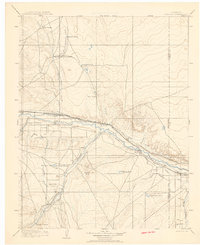
1904 · Nepesta
USGS Topo · 1:125,000
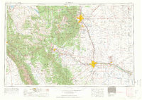
1954 · Pueblo
USGS Topo · 1:250,000
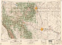
1957 · Pueblo
USGS Topo · 1:250,000
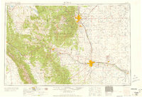
1958 · Pueblo
USGS Topo · 1:250,000
1959 · Highlands Church
USGS Topo · 1:24,000
1959 · Grandview School
USGS Topo · 1:24,000
1959 · North Avondale NE
USGS Topo · 1:24,000