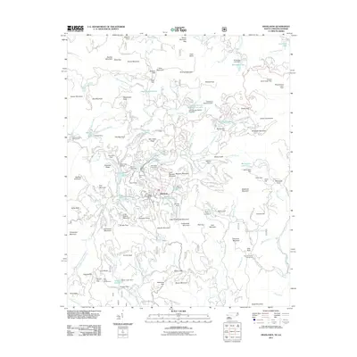
2011 Map of Highlands
USGS Topo · Published 2011About this map
Highlands and its high-elevation plateau are the centerpiece of this 2011 survey, showing the town's complex network of mountain roads and residential development. The landscape is defined by its abundance of water features and recreational infrastructure, from the Cullasaja River and Bridal Veil Falls to numerous private and public reservoirs like Mirror Lake and Ravenel Lake. For the genealogist or local historian, the map identifies specific landmarks such as the Highlands Cemetery and Horse Cove Cemetery, alongside family-named terrain like Billy Cabin Ridge and Cole Mountain. The geography is shaped by engineering and leisure, visible in features like the Cold Springs Saddle Club Dam and the Vanhook Glade Campground. This edition also captures the dense network of peaks surrounding the town, including Satulah Mountain and Whiteside Mountain, illustrating how the settlement pattern has navigated the steep gaps and ridges of the Southern Blue Ridge.
Find a feature on this map
203 named features on this map. Tap any name to fly to it.
Don’t see what you’re looking for? This feature index may not catch every label — zoom into the map to look around manually.
Map Details
Editions of this 2011 Highlands Map
This is the sole edition of this map. No revisions or reprints were ever made.
Other maps of this area

1886 · Walhalla
USGS Topo · 1:125,000

1891 · Cowee
USGS Topo · 1:125,000

1892 · Walhalla
USGS Topo · 1:125,000

1896 · Walhalla
USGS Topo · 1:125,000

1897 · Cowee
USGS Topo · 1:125,000

1907 · Cowee
USGS Topo · 1:125,000

1935 · Cashiers
USGS Topo · 1:24,000

1935 · Scaly
USGS Topo · 1:24,000

1935 · Rabun Bald
USGS Topo · 1:24,000

1935 · Glenville
USGS Topo · 1:24,000